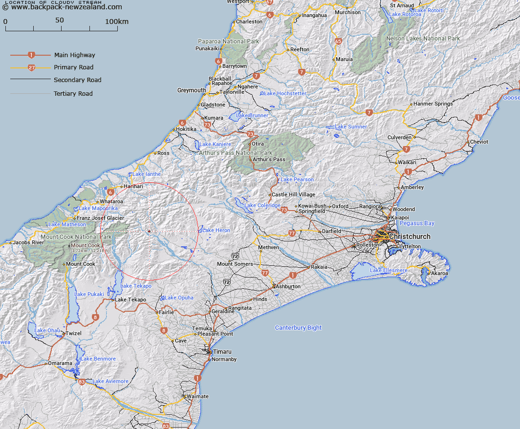
Map showing location of Cloudy Stream
LINZ description: Eastern tributary of Havelock River, rising 2.75km North-west of Cloudy Peak in the Cloudy Peak Range, flowing southward, and joining havelock River 5.25km upstream of Clyde River, near Trig. L (Geodetic Code ANAG). Blocks V and IX Clyde Survey District.
Latitude: -43.484749
Longitude: 170.771772
Northing: 5182940.5
Easting: 1419812.6
Land District: Canterbury
Feat Type: Stream
Latitude: -43.484749
Longitude: 170.771772
Northing: 5182940.5
Easting: 1419812.6
Land District: Canterbury
Feat Type: Stream

Scroll down to see a more detailed road map and below that a topographical map showing the location of Cloudy Stream. The road map has been supplied by openstreetmap and the topographical map of Cloudy Stream has been supplied by Land Information New Zealand (LINZ).
Yes you can use the top static map for you school/university project or personal website with a link back. Contact me for any commercial use.
[ A ] [ B ] [ C ] [ D ] [ E ] [ F ] [ G ] [ H ] [ I ] [ J ] [ K ] [ L ] [ M ] [ N ] [ O ] [ P ] [ Q ] [ R ] [ S ] [ T ] [ U ] [ V ] [ W ] [ X ] [ Y ] [ Z ]