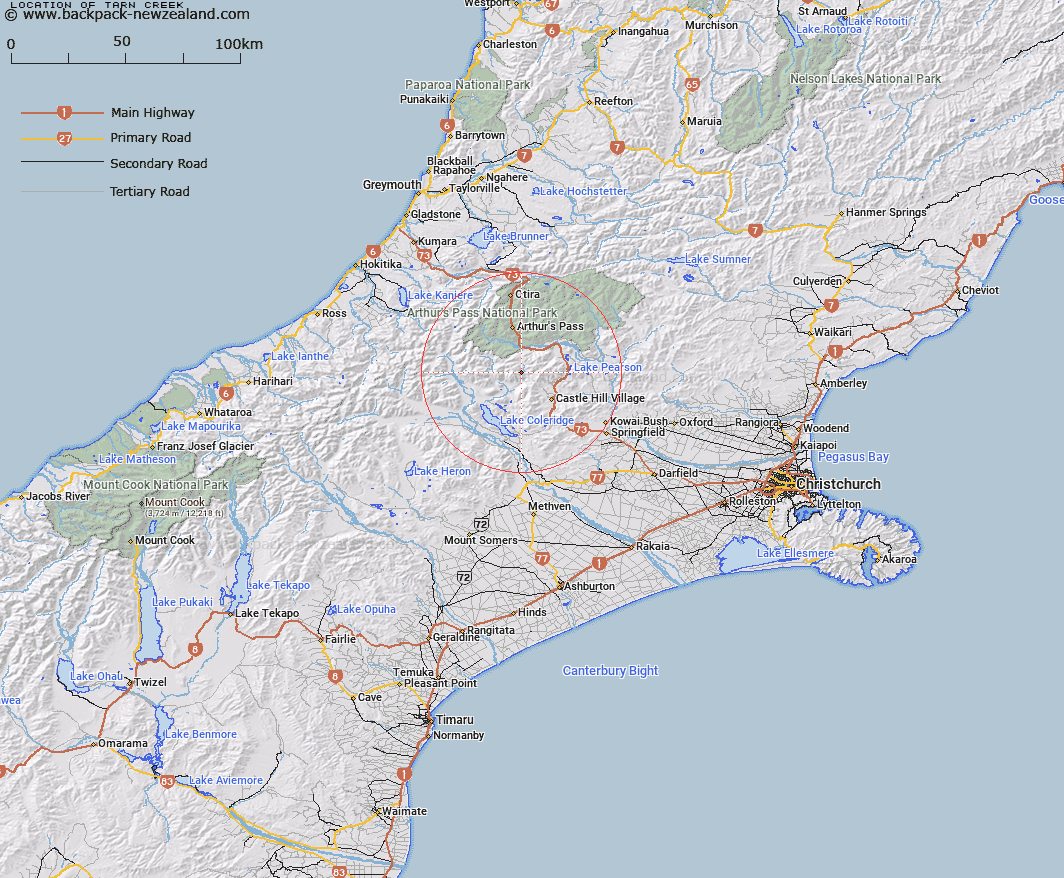
Map showing location of Tarn Creek


LINZ description: Stream rising on Grey Range and flows easterly into Harper River on the right bank, 2.5km above Hamilton Creek. Harper Survey District.
Latitude: -43.111143
Longitude: 171.602597
Northing: 5225895.2
Easting: 1486304.7
Land District: Canterbury
Feat Type: Stream


Scroll down to see a more detailed road map and below that a topographical map showing the location of Tarn Creek. The road map has been supplied by openstreetmap and the topographical map of Tarn Creek has been supplied by Land Information New Zealand (LINZ).

Yes you can use the top static map for you school/university project or personal website with a link back. Contact me for any commercial use.

Tarn Creek Map New Zealand


New Zealand places in our database
[ A ] [ B ] [ C ] [ D ] [ E ] [ F ] [ G ] [ H ] [ I ] [ J ] [ K ] [ L ] [ M ] [ N ] [ O ] [ P ] [ Q ] [ R ] [ S ] [ T ] [ U ] [ V ] [ W ] [ X ] [ Y ] [ Z ]


Closest 20 Streams to Tarn Creek

Fall Creek ( 2.22km )   Windy Creek ( 3.01km )   Doubtful Creek ( 3.58km )   Mangos Creek ( 3.72km )   Long Creek ( 3.93km )   Cockayne Creek ( 4.07km )   Hamilton Creek ( 4.13km )   Hidden Creek ( 4.56km )   Hut Creek ( 5.39km )   Centre Creek ( 6.21km )   Corner Creek ( 7.19km )   Amphitheatre Creek ( 7.65km )   Bruce Stream ( 7.77km )   Broad Stream ( 7.84km )   Junction Stream ( 8.04km )   Wall Creek ( 8.15km )   Long Valley Stream ( 8.4km )   McKay Stream ( 8.57km )   Power Stream ( 8.68km )   Camp Stream ( 8.74km )   Broken River ( 8.82km )   Cuckoo Creek ( 9.24km )   McLeod Stream ( 9.29km )   Tims Stream ( 9.43km )   Waterfall Creek ( 9.5km )   Little Jordan Stream ( 10.21km )   Galilee Creek ( 10.45km )   Catherine Stream ( 10.55km )   Long Creek ( 10.71km )   Snowslide Stream ( 10.71km )   Lilian Creek ( 10.83km )   Craigieburn ( 10.99km )   Mid Basin Creek ( 11.15km )   Ribbonwood Stream ( 11.18km )   Front Basin Stream ( 11.24km )   Jordan Stream ( 11.37km )   Triangle Creek ( 11.39km )   Hanging Basin Creek ( 11.83km )   Sawmill Stream ( 11.96km )   Manson Creek ( 12.18km )