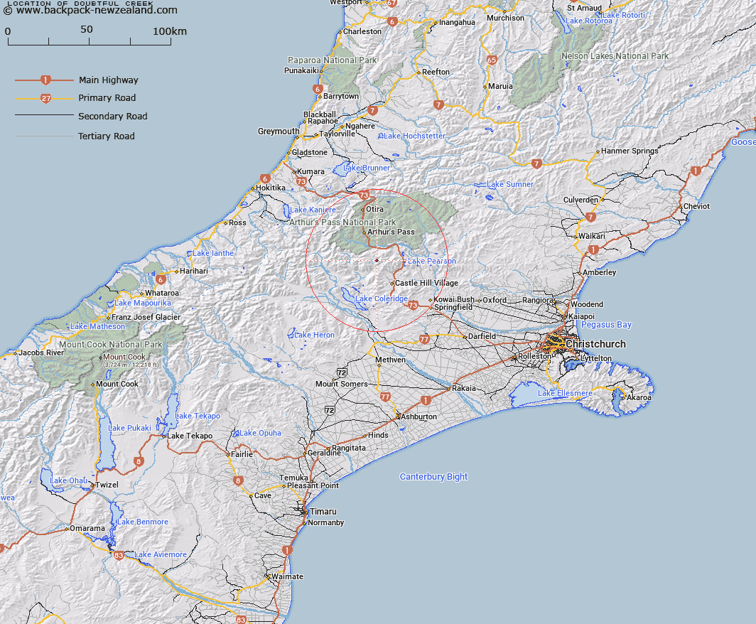
Map showing location of Doubtful Creek


LINZ description: Stream rising about 2 miles north-west of Cass Saddle and flows generally westerly into Harper River about half a mile below Mangos Creek. Harper Survey District.
Latitude: -43.089061
Longitude: 171.634672
Northing: 5228390.4
Easting: 1488874.5
Land District: Canterbury
Feat Type: Stream


Scroll down to see a more detailed road map and below that a topographical map showing the location of Doubtful Creek. The road map has been supplied by openstreetmap and the topographical map of Doubtful Creek has been supplied by Land Information New Zealand (LINZ).

Yes you can use the top static map for you school/university project or personal website with a link back. Contact me for any commercial use.

Doubtful Creek Map New Zealand


New Zealand places in our database
[ A ] [ B ] [ C ] [ D ] [ E ] [ F ] [ G ] [ H ] [ I ] [ J ] [ K ] [ L ] [ M ] [ N ] [ O ] [ P ] [ Q ] [ R ] [ S ] [ T ] [ U ] [ V ] [ W ] [ X ] [ Y ] [ Z ]


Closest 20 Streams to Doubtful Creek

Mangos Creek ( 1.41km )   Fall Creek ( 1.94km )   Hamilton Creek ( 3.51km )   Tarn Creek ( 3.58km )   Windy Creek ( 3.64km )   Long Creek ( 3.94km )   Broad Stream ( 4.7km )   Long Valley Stream ( 5.08km )   McKay Stream ( 5.21km )   McLeod Stream ( 5.75km )   Cockayne Creek ( 5.86km )   Bruce Stream ( 6.47km )   Snowslide Stream ( 7.31km )   Hut Creek ( 7.63km )   Hidden Creek ( 7.72km )   Camp Stream ( 7.95km )   Power Stream ( 8.18km )   Wall Creek ( 8.18km )   Broken River ( 8.34km )   Ribbonwood Stream ( 8.42km )   Cass River ( 8.81km )   Junction Stream ( 9.04km )   Misery Stream ( 9.08km )   Sawmill Stream ( 9.42km )   Cuckoo Creek ( 9.49km )   Craigieburn ( 9.51km )   Amphitheatre Creek ( 9.66km )   Centre Creek ( 9.74km )   Tims Stream ( 10.28km )   Little Jordan Stream ( 10.28km )   Manson Creek ( 10.41km )   Corner Creek ( 10.63km )   Douglas Stream ( 10.76km )   Waterfall Creek ( 10.85km )   Jordan Stream ( 11.45km )   Galilee Creek ( 11.92km )   Grasmere Stream ( 11.93km )   Red Beech Stream ( 11.96km )   Long Creek ( 12.01km )   Greyneys Creek ( 12.03km )