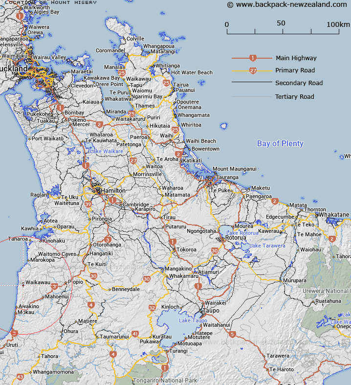
Map showing location of Mount Misery
LINZ description: Name for Trig. G. (Geodetic Code B6QV) situated approximately 1.8km south of Waikawau locality. Block X Whareorino Survey District.
Latitude: -38.488473
Longitude: 174.680494
Northing: 5738647.7
Easting: 1746563.6
Land District: South Auckland
Feat Type: Trig Station
Latitude: -38.488473
Longitude: 174.680494
Northing: 5738647.7
Easting: 1746563.6
Land District: South Auckland
Feat Type: Trig Station

Scroll down to see a more detailed road map and below that a topographical map showing the location of Mount Misery. The road map has been supplied by openstreetmap and the topographical map of Mount Misery has been supplied by Land Information New Zealand (LINZ).
Yes you can use the top static map for you school/university project or personal website with a link back. Contact me for any commercial use.
[ A ] [ B ] [ C ] [ D ] [ E ] [ F ] [ G ] [ H ] [ I ] [ J ] [ K ] [ L ] [ M ] [ N ] [ O ] [ P ] [ Q ] [ R ] [ S ] [ T ] [ U ] [ V ] [ W ] [ X ] [ Y ] [ Z ]