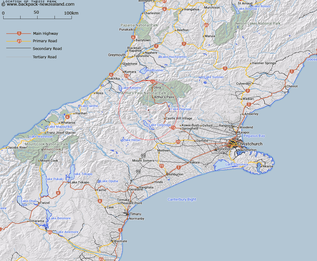
Map showing location of Thesis Peak
LINZ description: A peak approximately 6,000 ft, about two miles south-west from Bruce Saddle on the Black Range, and situated on a range between the Avoca River and a large left bank tributary of the Avoca. Harper Survey District.
Latitude: -43.103921
Longitude: 171.513116
Northing: 5226572
Easting: 1479010.1
Land District: Canterbury
Feat Type: Hill
Latitude: -43.103921
Longitude: 171.513116
Northing: 5226572
Easting: 1479010.1
Land District: Canterbury
Feat Type: Hill

Scroll down to see a more detailed road map and below that a topographical map showing the location of Thesis Peak. The road map has been supplied by openstreetmap and the topographical map of Thesis Peak has been supplied by Land Information New Zealand (LINZ).
Yes you can use the top static map for you school/university project or personal website with a link back. Contact me for any commercial use.
[ A ] [ B ] [ C ] [ D ] [ E ] [ F ] [ G ] [ H ] [ I ] [ J ] [ K ] [ L ] [ M ] [ N ] [ O ] [ P ] [ Q ] [ R ] [ S ] [ T ] [ U ] [ V ] [ W ] [ X ] [ Y ] [ Z ]