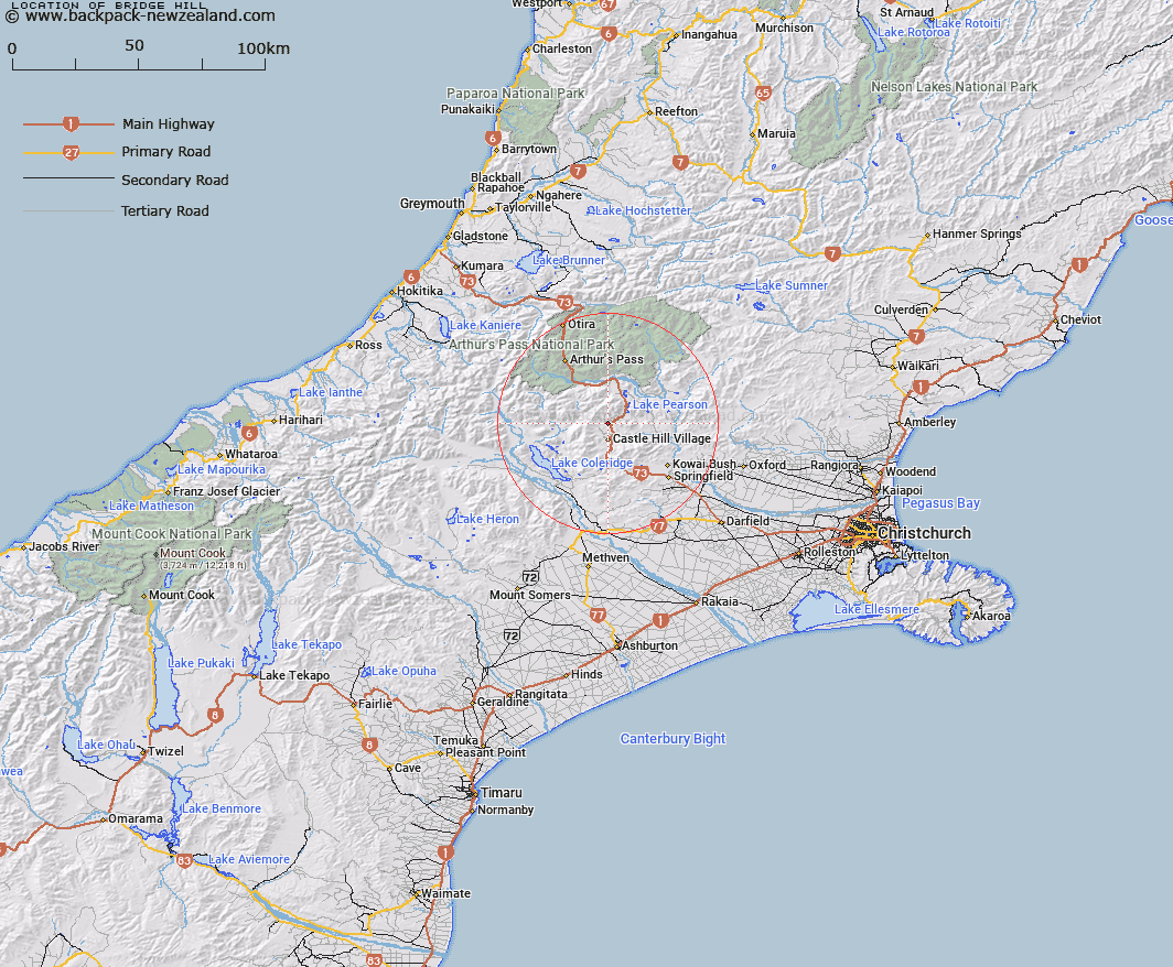
Map showing location of Bridge Hill
LINZ description: Hill on which Trig. Station E (Geodetic Code A9XY) stands, between Broken River and Highway 73, 2km South-west of Helicopter Hill. Harper Survey District.
Latitude: -43.155588
Longitude: 171.714155
Northing: 5221104.8
Easting: 1495457.2
Land District: Canterbury
Feat Type: Hill
Latitude: -43.155588
Longitude: 171.714155
Northing: 5221104.8
Easting: 1495457.2
Land District: Canterbury
Feat Type: Hill

Scroll down to see a more detailed road map and below that a topographical map showing the location of Bridge Hill. The road map has been supplied by openstreetmap and the topographical map of Bridge Hill has been supplied by Land Information New Zealand (LINZ).
Yes you can use the top static map for you school/university project or personal website with a link back. Contact me for any commercial use.
[ A ] [ B ] [ C ] [ D ] [ E ] [ F ] [ G ] [ H ] [ I ] [ J ] [ K ] [ L ] [ M ] [ N ] [ O ] [ P ] [ Q ] [ R ] [ S ] [ T ] [ U ] [ V ] [ W ] [ X ] [ Y ] [ Z ]