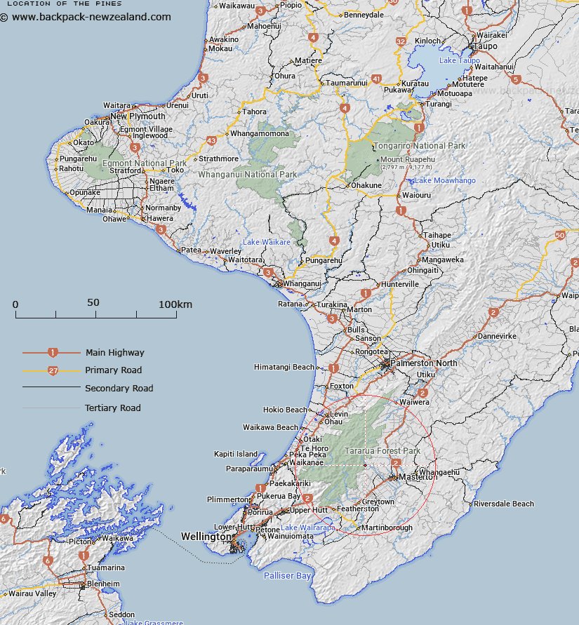
Map showing location of The Pines
LINZ description: A meeting place for trampers at the southern end (start) of the Barra Track, Tararua Ranges.
Latitude: -40.883282
Longitude: 175.497037
Northing: 5471198
Easting: 1810384.3
Land District: Wellington
Feat Type: Track
Latitude: -40.883282
Longitude: 175.497037
Northing: 5471198
Easting: 1810384.3
Land District: Wellington
Feat Type: Track

Scroll down to see a more detailed road map and below that a topographical map showing the location of The Pines. The road map has been supplied by openstreetmap and the topographical map of The Pines has been supplied by Land Information New Zealand (LINZ).
Yes you can use the top static map for you school/university project or personal website with a link back. Contact me for any commercial use.
[ A ] [ B ] [ C ] [ D ] [ E ] [ F ] [ G ] [ H ] [ I ] [ J ] [ K ] [ L ] [ M ] [ N ] [ O ] [ P ] [ Q ] [ R ] [ S ] [ T ] [ U ] [ V ] [ W ] [ X ] [ Y ] [ Z ]