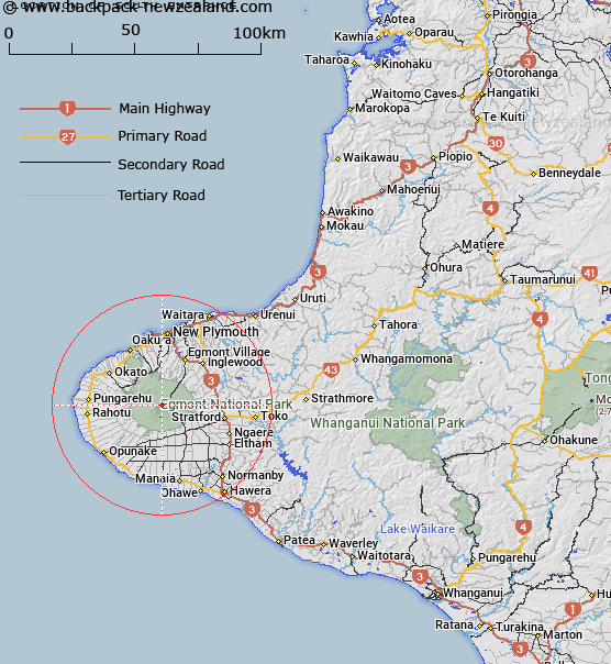
Map showing location of South Entrance
LINZ description: Entrance into crater west of Mackay Rocks, as shown on Infomap 273-09
Latitude: -39.296912
Longitude: 174.063362
Northing: 5649735
Easting: 1691693.3
Land District: Taranaki
Feat Type: Track
Latitude: -39.296912
Longitude: 174.063362
Northing: 5649735
Easting: 1691693.3
Land District: Taranaki
Feat Type: Track

Scroll down to see a more detailed road map and below that a topographical map showing the location of South Entrance. The road map has been supplied by openstreetmap and the topographical map of South Entrance has been supplied by Land Information New Zealand (LINZ).
Yes you can use the top static map for you school/university project or personal website with a link back. Contact me for any commercial use.
[ A ] [ B ] [ C ] [ D ] [ E ] [ F ] [ G ] [ H ] [ I ] [ J ] [ K ] [ L ] [ M ] [ N ] [ O ] [ P ] [ Q ] [ R ] [ S ] [ T ] [ U ] [ V ] [ W ] [ X ] [ Y ] [ Z ]