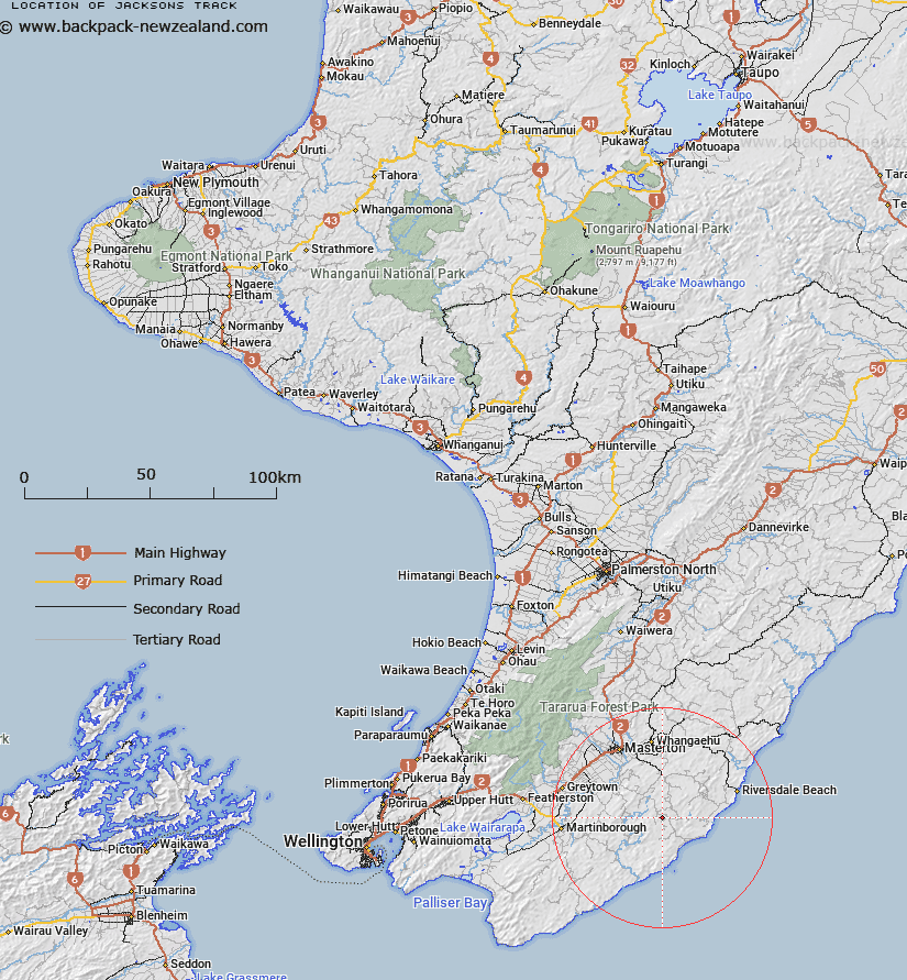
Map showing location of Jacksons Track
LINZ description: No information available to be added at a later date.
Latitude: -41.178625
Longitude: 175.812398
Northing: 5437600
Easting: 1835900
Land District: Wellington
Feat Type: Track
Latitude: -41.178625
Longitude: 175.812398
Northing: 5437600
Easting: 1835900
Land District: Wellington
Feat Type: Track

Scroll down to see a more detailed road map and below that a topographical map showing the location of Jacksons Track. The road map has been supplied by openstreetmap and the topographical map of Jacksons Track has been supplied by Land Information New Zealand (LINZ).
Yes you can use the top static map for you school/university project or personal website with a link back. Contact me for any commercial use.
[ A ] [ B ] [ C ] [ D ] [ E ] [ F ] [ G ] [ H ] [ I ] [ J ] [ K ] [ L ] [ M ] [ N ] [ O ] [ P ] [ Q ] [ R ] [ S ] [ T ] [ U ] [ V ] [ W ] [ X ] [ Y ] [ Z ]