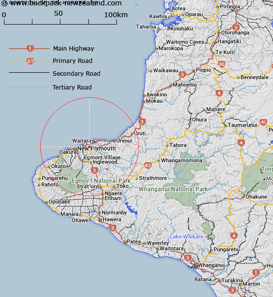
Map showing location of Te Mōrere Pā
LINZ description: An historic pā site located next to Mountain Road within Sentry Hill locality, approximately 5km southwest of Waitara town centre. Feature shown on: Infomap 346-01 Te Ika a Māui Edition 1 1995; NZTopo50-BH29 037783
Latitude: -39.038364
Longitude: 174.198361
Northing: 5678283
Easting: 1703713.7
Land District: Taranaki
Feat Type: Historic Site
Latitude: -39.038364
Longitude: 174.198361
Northing: 5678283
Easting: 1703713.7
Land District: Taranaki
Feat Type: Historic Site

Scroll down to see a more detailed road map and below that a topographical map showing the location of Te Mōrere Pā. The road map has been supplied by openstreetmap and the topographical map of Te Mōrere Pā has been supplied by Land Information New Zealand (LINZ).
Yes you can use the top static map for you school/university project or personal website with a link back. Contact me for any commercial use.
[ A ] [ B ] [ C ] [ D ] [ E ] [ F ] [ G ] [ H ] [ I ] [ J ] [ K ] [ L ] [ M ] [ N ] [ O ] [ P ] [ Q ] [ R ] [ S ] [ T ] [ U ] [ V ] [ W ] [ X ] [ Y ] [ Z ]