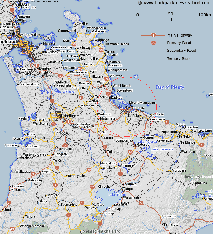
Map showing location of Otumoetai Pa
LINZ description: An historic Pā site located on the northern shores of the suburb of Otūmoetai. NZTopo50-BD37 769269.
Latitude: -37.66286
Longitude: 176.139577
Northing: 5826951.6
Easting: 1876939
Land District: South Auckland
Feat Type: Historic Site
Latitude: -37.66286
Longitude: 176.139577
Northing: 5826951.6
Easting: 1876939
Land District: South Auckland
Feat Type: Historic Site

Scroll down to see a more detailed road map and below that a topographical map showing the location of Otumoetai Pa. The road map has been supplied by openstreetmap and the topographical map of Otumoetai Pa has been supplied by Land Information New Zealand (LINZ).
Yes you can use the top static map for you school/university project or personal website with a link back. Contact me for any commercial use.
[ A ] [ B ] [ C ] [ D ] [ E ] [ F ] [ G ] [ H ] [ I ] [ J ] [ K ] [ L ] [ M ] [ N ] [ O ] [ P ] [ Q ] [ R ] [ S ] [ T ] [ U ] [ V ] [ W ] [ X ] [ Y ] [ Z ]