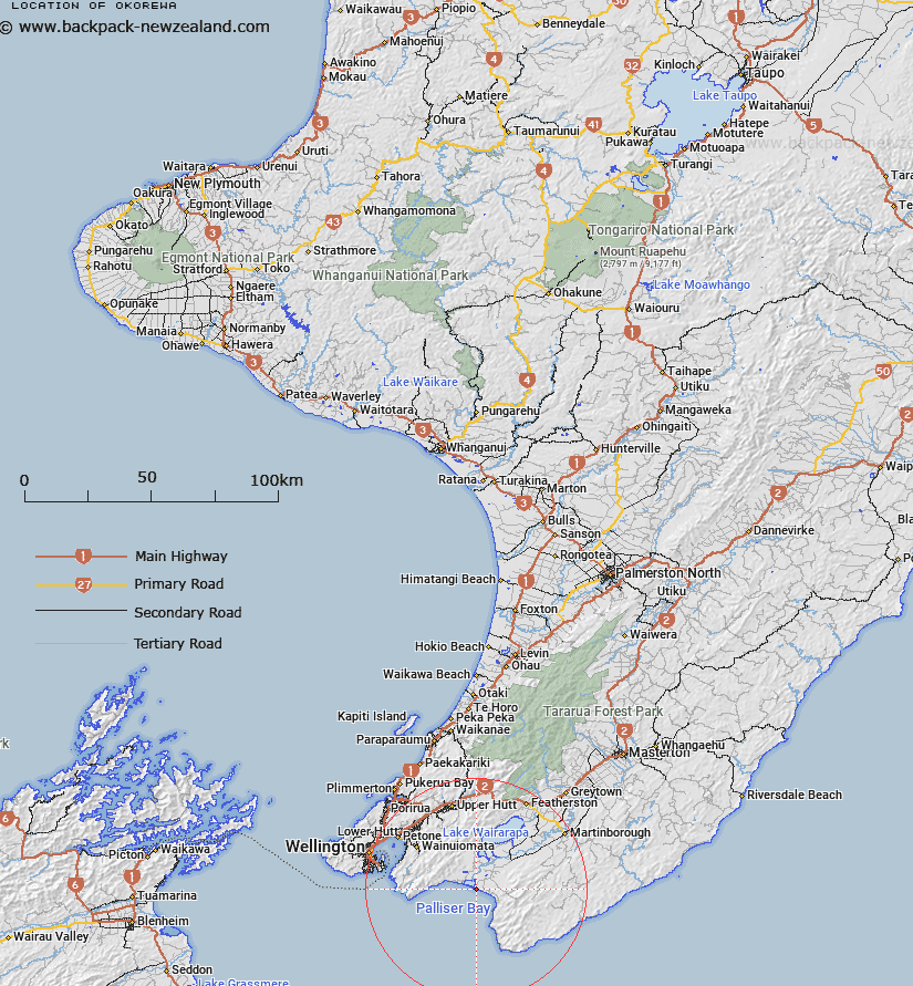
Map showing location of Okorewa
LINZ description: Historic pā site or kainga previously depicted on W(R)17, ML 1564 and ML 600. Described on W(R)17 as a 'fishing pa'.
Latitude: -41.399614
Longitude: 175.151666
Northing: 5414646.4
Easting: 1779866.5
Land District: Wellington
Feat Type: Historic Site
Latitude: -41.399614
Longitude: 175.151666
Northing: 5414646.4
Easting: 1779866.5
Land District: Wellington
Feat Type: Historic Site

Scroll down to see a more detailed road map and below that a topographical map showing the location of Okorewa. The road map has been supplied by openstreetmap and the topographical map of Okorewa has been supplied by Land Information New Zealand (LINZ).
Yes you can use the top static map for you school/university project or personal website with a link back. Contact me for any commercial use.
[ A ] [ B ] [ C ] [ D ] [ E ] [ F ] [ G ] [ H ] [ I ] [ J ] [ K ] [ L ] [ M ] [ N ] [ O ] [ P ] [ Q ] [ R ] [ S ] [ T ] [ U ] [ V ] [ W ] [ X ] [ Y ] [ Z ]