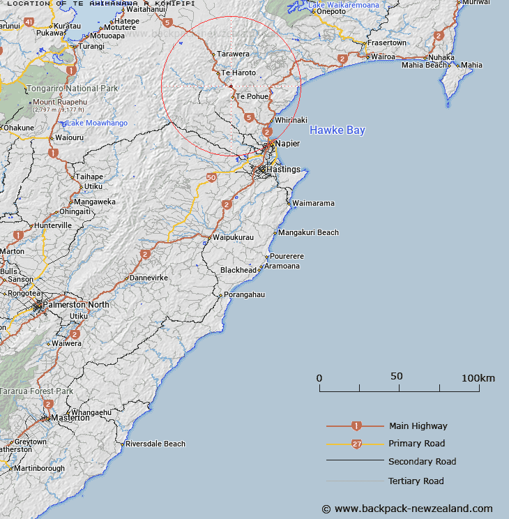
Map showing location of Te Ahimanawa-a-Kohipipi
LINZ description: An historic site located within Maungaharuru Range between Mimiha Stream and Mangowhata Stream. NZTopo50-BJ38 170555.
Latitude: -39.192117
Longitude: 176.670461
Northing: 5655482
Easting: 1917014.4
Land District: Hawke's Bay
Feat Type: Historic Site
Latitude: -39.192117
Longitude: 176.670461
Northing: 5655482
Easting: 1917014.4
Land District: Hawke's Bay
Feat Type: Historic Site

Scroll down to see a more detailed road map and below that a topographical map showing the location of Te Ahimanawa-a-Kohipipi. The road map has been supplied by openstreetmap and the topographical map of Te Ahimanawa-a-Kohipipi has been supplied by Land Information New Zealand (LINZ).
Yes you can use the top static map for you school/university project or personal website with a link back. Contact me for any commercial use.
[ A ] [ B ] [ C ] [ D ] [ E ] [ F ] [ G ] [ H ] [ I ] [ J ] [ K ] [ L ] [ M ] [ N ] [ O ] [ P ] [ Q ] [ R ] [ S ] [ T ] [ U ] [ V ] [ W ] [ X ] [ Y ] [ Z ]