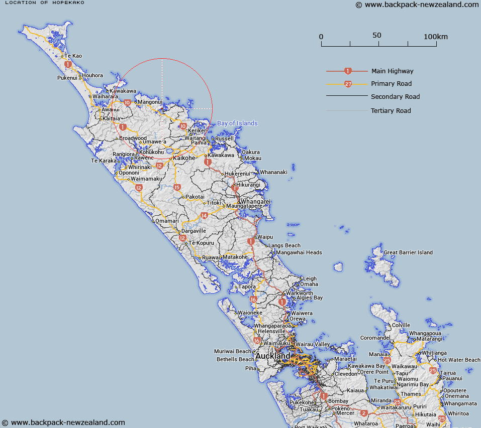
Map showing location of Hopekako
LINZ description: An historic pā site located at the summit of Saint Peters (hill) overlooking Whangaroa Harbour. NZTopo50-AV28 673227.
Latitude: -35.035843
Longitude: 173.737466
Northing: 6122733.6
Easting: 1667266.3
Land District: North Auckland
Feat Type: Historic Site
Latitude: -35.035843
Longitude: 173.737466
Northing: 6122733.6
Easting: 1667266.3
Land District: North Auckland
Feat Type: Historic Site

Scroll down to see a more detailed road map and below that a topographical map showing the location of Hopekako. The road map has been supplied by openstreetmap and the topographical map of Hopekako has been supplied by Land Information New Zealand (LINZ).
Yes you can use the top static map for you school/university project or personal website with a link back. Contact me for any commercial use.
[ A ] [ B ] [ C ] [ D ] [ E ] [ F ] [ G ] [ H ] [ I ] [ J ] [ K ] [ L ] [ M ] [ N ] [ O ] [ P ] [ Q ] [ R ] [ S ] [ T ] [ U ] [ V ] [ W ] [ X ] [ Y ] [ Z ]