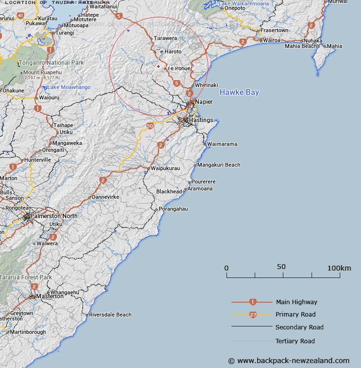
Map showing location of Tauira Mateāwhā
LINZ description: An historic site located on an unnamed cliff within Te Waka Range, approximately 2km west of Te Waka (mountain). NZTopo50-BJ38 133509.
Latitude: -39.234613
Longitude: 176.629564
Northing: 5650906.6
Easting: 1913292.1
Land District: Hawke's Bay
Feat Type: Historic Site
Latitude: -39.234613
Longitude: 176.629564
Northing: 5650906.6
Easting: 1913292.1
Land District: Hawke's Bay
Feat Type: Historic Site

Scroll down to see a more detailed road map and below that a topographical map showing the location of Tauira Mateāwhā. The road map has been supplied by openstreetmap and the topographical map of Tauira Mateāwhā has been supplied by Land Information New Zealand (LINZ).
Yes you can use the top static map for you school/university project or personal website with a link back. Contact me for any commercial use.
[ A ] [ B ] [ C ] [ D ] [ E ] [ F ] [ G ] [ H ] [ I ] [ J ] [ K ] [ L ] [ M ] [ N ] [ O ] [ P ] [ Q ] [ R ] [ S ] [ T ] [ U ] [ V ] [ W ] [ X ] [ Y ] [ Z ]