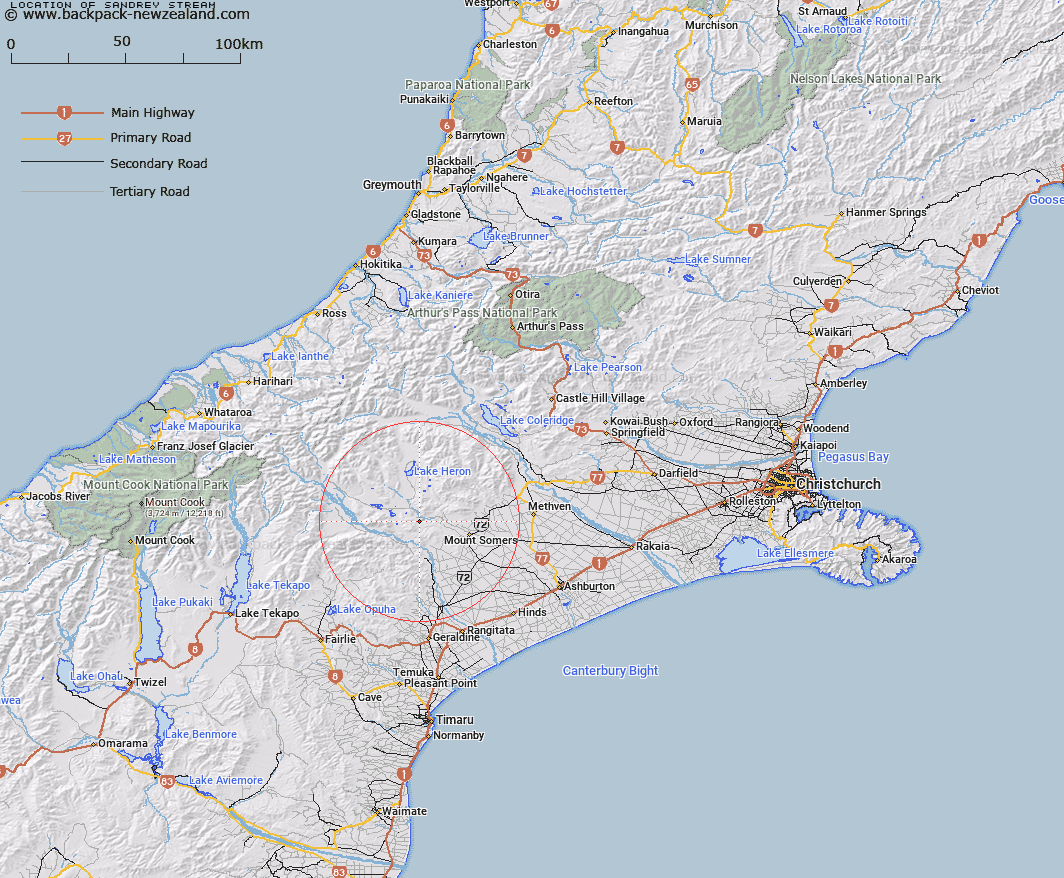
Map showing location of Sandrey Stream


LINZ description: A stream with headwaters in the northern end of Moorhouse Range. Flowing generally north-east to join South Branch Ashburton River
Latitude: -43.661073
Longitude: 171.207848
Northing: 5164209.5
Easting: 1455499.3
Land District: Canterbury
Feat Type: Stream


Scroll down to see a more detailed road map and below that a topographical map showing the location of Sandrey Stream. The road map has been supplied by openstreetmap and the topographical map of Sandrey Stream has been supplied by Land Information New Zealand (LINZ).

Yes you can use the top static map for you school/university project or personal website with a link back. Contact me for any commercial use.

Sandrey Stream Map New Zealand


New Zealand places in our database
[ A ] [ B ] [ C ] [ D ] [ E ] [ F ] [ G ] [ H ] [ I ] [ J ] [ K ] [ L ] [ M ] [ N ] [ O ] [ P ] [ Q ] [ R ] [ S ] [ T ] [ U ] [ V ] [ W ] [ X ] [ Y ] [ Z ]


Closest 20 Streams to Sandrey Stream

Chaffey Stream ( 2.49km )   Waterfall Stream ( 3.84km )   Blue Duck Stream ( 4.6km )   Little Hinds Stream ( 4.88km )   Blondin Stream ( 5.59km )   Lambies Stream ( 5.87km )   Moorhouse Stream ( 6.23km )   Potato Stream ( 6.7km )   Emma Stream ( 7.11km )   Stour River ( 7.3km )   Hinds River South Branch ( 7.78km )   Pudding Valley Creek ( 7.8km )   Markhams Stream ( 7.84km )   Woolshed Creek ( 8.21km )   Nabob Stream ( 8.35km )   Haast Stream ( 8.89km )   Chapmans Creek ( 9.2km )   Denny Stream ( 9.57km )   Broadleaf Stream ( 9.77km )   Limestone Creek ( 9.8km )   Coal Creek ( 10.42km )   Weta Stream ( 10.76km )   Stony Creek ( 10.79km )   Ghost Stream ( 10.93km )   Middle Stream ( 11.49km )   Jacobs Stream ( 11.75km )   Stour River West Branch ( 11.94km )   Emily Stream ( 12.03km )   Orr Stream ( 12.06km )   Hinds River North Branch ( 12.09km )   Gentleman Smith Stream ( 12.13km )   Stour River East Branch ( 12.18km )   Soup Stream ( 12.29km )   Paddle Hill Creek ( 12.45km )   Gawler Stream ( 12.49km )   Morgan Stream ( 12.79km )   Johnstone Stream ( 12.83km )   Boundary Stream ( 13.08km )   Black Stream ( 13.1km )   Balmacaan Stream ( 13.78km )