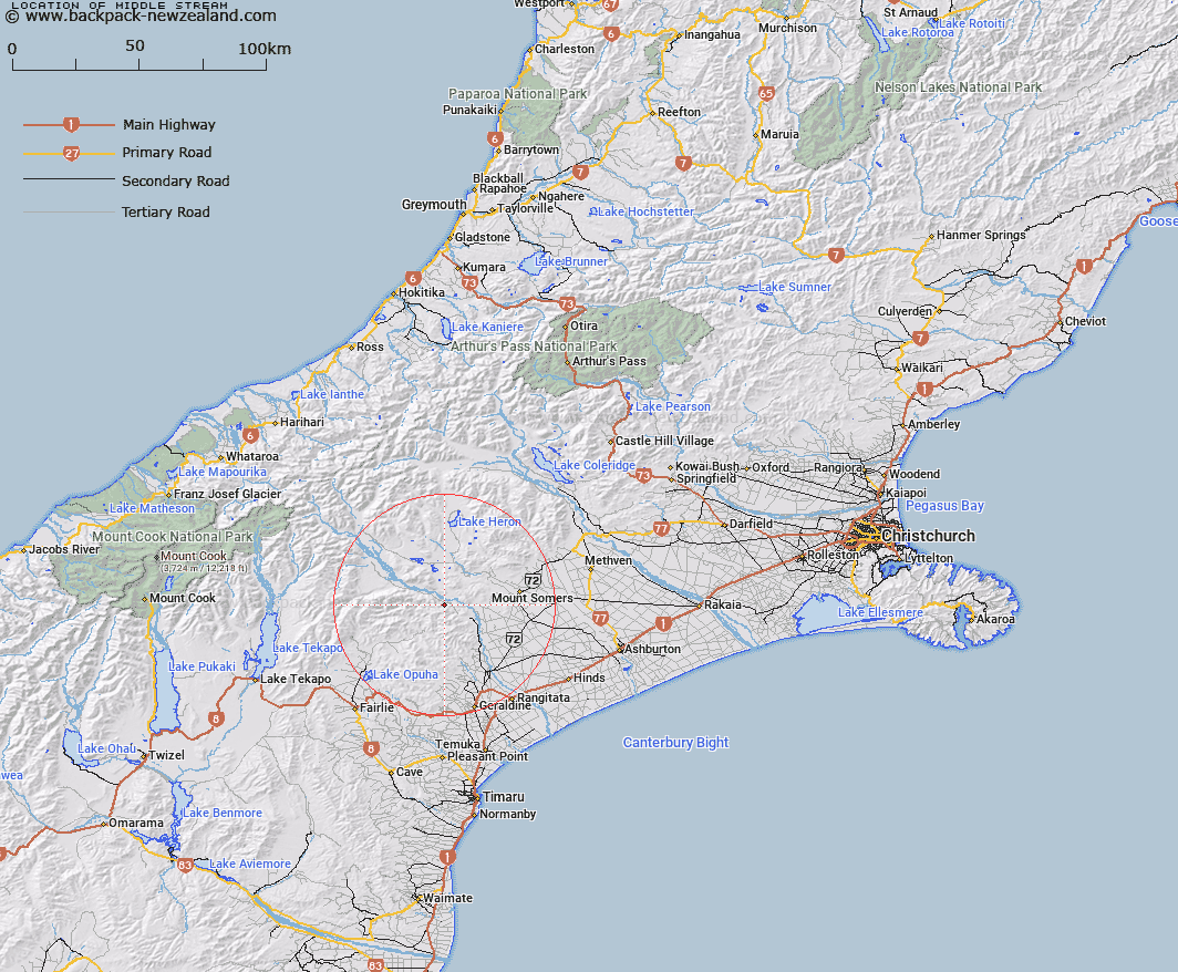
Map showing location of Middle Stream


LINZ description: Right bank tributary of Rangitata River rising in the Tara Haoa Range, 2.3km North by North-east of Coal Hill [Trig. E (Geodetic Code AMUQ)], and joining Rangitata River near Coal Creek. Block VII Mount Peel Survey District.
Latitude: -43.752551
Longitude: 171.141451
Northing: 5153931.7
Easting: 1450373.4
Land District: Canterbury
Feat Type: Stream


Scroll down to see a more detailed road map and below that a topographical map showing the location of Middle Stream. The road map has been supplied by openstreetmap and the topographical map of Middle Stream has been supplied by Land Information New Zealand (LINZ).

Yes you can use the top static map for you school/university project or personal website with a link back. Contact me for any commercial use.

Middle Stream Map New Zealand


New Zealand places in our database
[ A ] [ B ] [ C ] [ D ] [ E ] [ F ] [ G ] [ H ] [ I ] [ J ] [ K ] [ L ] [ M ] [ N ] [ O ] [ P ] [ Q ] [ R ] [ S ] [ T ] [ U ] [ V ] [ W ] [ X ] [ Y ] [ Z ]


Closest 20 Streams to Middle Stream

Coal Creek ( 1.08km )   Soup Stream ( 1.72km )   Nabob Stream ( 4.42km )   Boundary Stream ( 5.03km )   Quartz Creek ( 6.27km )   Moorhouse Stream ( 6.32km )   Matagouri Stream ( 7.47km )   Pudding Valley Creek ( 8.27km )   Saddle Hut Stream ( 8.29km )   Hinds River South Branch ( 8.49km )   Chapmans Creek ( 8.68km )   Middlestream ( 8.92km )   Powerhouse Stream ( 9.03km )   Mount Peel Creek ( 9.11km )   Chaffey Stream ( 9.3km )   Rangitata River ( 9.48km )   Broadleaf Stream ( 9.57km )   Lodge Stream ( 10.06km )   Lochaber Stream ( 10.09km )   Little Hinds Stream ( 10.19km )   Sandrey Stream ( 11.49km )   Denny Stream ( 11.5km )   Parson Stream ( 11.85km )   Moonlight Stream ( 12.35km )   Lynn Stream ( 12.51km )   Limestone Creek ( 12.82km )   Rocky Stream ( 12.88km )   Taffy Creek ( 13.26km )   Emma Stream ( 13.51km )   Rawtor Creek ( 13.55km )   Little Peel Stream ( 13.93km )   Hewson River ( 13.95km )   Bernard Stream ( 14.05km )   Blondin Stream ( 14.47km )   Pickaxe Stream ( 14.67km )   Basin Stream ( 15.01km )   Waterfall Stream ( 15.04km )   Balmacaan Stream ( 15.29km )   Coopers Stream ( 15.4km )   Lambies Stream ( 15.48km )