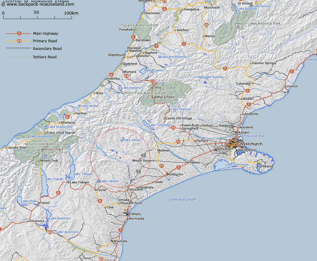
Map showing location of Moorhouse Stream
LINZ description: Left Bank tributary of Rangitata River rising in the Moorhouse Range 300m North of Mount Tripp [Trig. K (Geodetic Code ANF7)], flowing North-westward then southward and joining Rangitata River 3km North-west of Trig. J Whiterock (Geodetic Code AAEQ). Blocks XI, XII, and XIV, Tripp Survey District.
Latitude: -43.69591
Longitude: 171.147216
Northing: 5160232.9
Easting: 1450696.9
Land District: Canterbury
Feat Type: Stream
Latitude: -43.69591
Longitude: 171.147216
Northing: 5160232.9
Easting: 1450696.9
Land District: Canterbury
Feat Type: Stream

Scroll down to see a more detailed road map and below that a topographical map showing the location of Moorhouse Stream. The road map has been supplied by openstreetmap and the topographical map of Moorhouse Stream has been supplied by Land Information New Zealand (LINZ).
Yes you can use the top static map for you school/university project or personal website with a link back. Contact me for any commercial use.
[ A ] [ B ] [ C ] [ D ] [ E ] [ F ] [ G ] [ H ] [ I ] [ J ] [ K ] [ L ] [ M ] [ N ] [ O ] [ P ] [ Q ] [ R ] [ S ] [ T ] [ U ] [ V ] [ W ] [ X ] [ Y ] [ Z ]