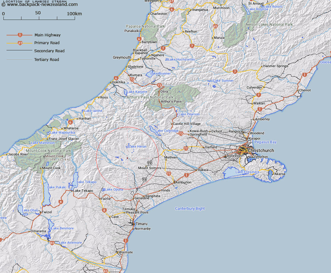
Map showing location of Lambies Stream


LINZ description: The name applies to whole length of stream, from Lake Clearwater to the South Branch Ashburton River
Latitude: -43.615125
Longitude: 171.171983
Northing: 5169249.5
Easting: 1452495
Land District: Canterbury
Feat Type: Stream


Scroll down to see a more detailed road map and below that a topographical map showing the location of Lambies Stream. The road map has been supplied by openstreetmap and the topographical map of Lambies Stream has been supplied by Land Information New Zealand (LINZ).

Yes you can use the top static map for you school/university project or personal website with a link back. Contact me for any commercial use.

Lambies Stream Map New Zealand


New Zealand places in our database
[ A ] [ B ] [ C ] [ D ] [ E ] [ F ] [ G ] [ H ] [ I ] [ J ] [ K ] [ L ] [ M ] [ N ] [ O ] [ P ] [ Q ] [ R ] [ S ] [ T ] [ U ] [ V ] [ W ] [ X ] [ Y ] [ Z ]


Closest 20 Streams to Lambies Stream

Potato Stream ( 1.71km )   Waterfall Stream ( 3.3km )   Emma Stream ( 3.86km )   Haast Stream ( 3.87km )   Markhams Stream ( 5.58km )   Blue Duck Stream ( 5.74km )   Sandrey Stream ( 5.87km )   Gentleman Smith Stream ( 6.8km )   Jacobs Stream ( 6.83km )   Paddle Hill Creek ( 6.89km )   Emily Stream ( 7.26km )   Johnstone Stream ( 7.43km )   Denny Stream ( 8.1km )   Chaffey Stream ( 8.1km )   Stour River ( 8.62km )   Pudding Valley Creek ( 8.62km )   Stour River West Branch ( 9.13km )   Moorhouse Stream ( 9.2km )   Stour River East Branch ( 10km )   Clent Hills Stream ( 10.08km )   Blondin Stream ( 10.21km )   Harding Stream ( 10.51km )   Little Hinds Stream ( 10.74km )   Weta Stream ( 10.81km )   Balmacaan Stream ( 10.87km )   Black Stream ( 10.91km )   Orr Stream ( 11.1km )   Woolshed Creek ( 11.39km )   Chapmans Creek ( 12.15km )   Kenneth Creek ( 12.76km )   Finger Stream ( 12.96km )   Nabob Stream ( 13.43km )   Hinds River South Branch ( 13.6km )   Morgan Stream ( 13.62km )   Whisky Stream ( 13.72km )   Sparrow Hawk Stream ( 13.8km )   Craddock Stream ( 14.24km )   Cradock Stream ( 14.24km )   Coal Creek ( 14.41km )   Swin River South Branch ( 14.47km )