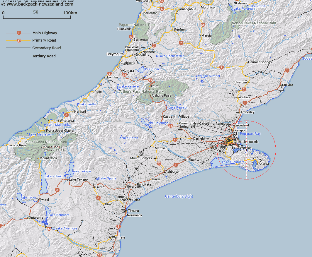
Map showing location of Pukerauaruhe Island


LINZ description: Island on west side of Port Levy (Potiriwi) / Koukourarata, 2.5 km from the entrance to the bay. Pigeon Bay Survey District
Latitude: -43.626756
Longitude: 172.826818
Northing: 5169566.7
Easting: 1586028.6
Land District: Canterbury
Feat Type: Island


Scroll down to see a more detailed road map and below that a topographical map showing the location of Pukerauaruhe Island. The road map has been supplied by openstreetmap and the topographical map of Pukerauaruhe Island has been supplied by Land Information New Zealand (LINZ).

Yes you can use the top static map for you school/university project or personal website with a link back. Contact me for any commercial use.

Pukerauaruhe Island Map New Zealand


New Zealand places in our database
[ A ] [ B ] [ C ] [ D ] [ E ] [ F ] [ G ] [ H ] [ I ] [ J ] [ K ] [ L ] [ M ] [ N ] [ O ] [ P ] [ Q ] [ R ] [ S ] [ T ] [ U ] [ V ] [ W ] [ X ] [ Y ] [ Z ]


Closest 20 Islands to Pukerauaruhe Island

Horomaka Island ( 2.58km )   Horomonga Island ( 2.58km )   Beacon Rock ( 3.95km )   Ripapa Island ( 5.88km )   Ripa Island ( 5.88km )   Quail Island (Otamahua) ( 11.11km )   Otamahua/Quail Island ( 11.11km )   King Billy Island ( 11.4km )   Sail Rocks ( 22.18km )   Pa Island ( 23.63km )   Jachin Island ( 26.12km )   Long Boat ( 27.02km )   Whale Island ( 28.57km )   Crown Island ( 29.7km )   The Long Boat ( 31.56km )   Pompeys Pillar ( 32.33km )   Rakaia Island ( 58.63km )   Motunau Island ( 66.01km )   Browns Rock ( 66.41km )   Shag Rock ( 99.51km )   Manuka Island ( 103.93km )   Cabbage Tree Island ( 108.01km )   Garden Island ( 111.15km )   Hearntown Island ( 122.67km )   Rangitata Island ( 122.67km )   Pukaroro Rock ( 133.04km )   Walkers Island ( 135.04km )   Otumatu Rock ( 139.23km )   South Island ( 139.89km )   Te Waipounamu ( 139.89km )   Rileys Lookout (Panau Island) ( 142.55km )   Refuge Island/Takataka ( 157.11km )   Refuge Island ( 157.11km )   Hans Island ( 163.93km )   Killeen Island ( 175.83km )   Tui Island ( 182.51km )   Cashmere Island ( 182.65km )   Frenchies Island ( 182.95km )   Cobden Island ( 186.46km )   Motuariki Island ( 187.9km )