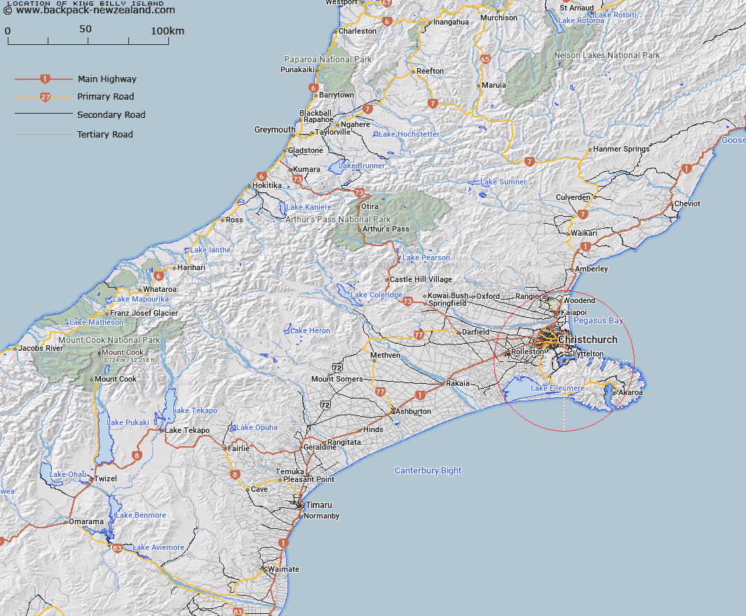
Map showing location of King Billy Island


LINZ description: Small island between Quail Island and Moepuku Point. Although a small island, it prevents boats from passing between Quail Island and Moepuku Point at low tide.
Latitude: -43.634982
Longitude: 172.685691
Northing: 5168619.6
Easting: 1574646.6
Land District: Canterbury
Feat Type: Island


Scroll down to see a more detailed road map and below that a topographical map showing the location of King Billy Island. The road map has been supplied by openstreetmap and the topographical map of King Billy Island has been supplied by Land Information New Zealand (LINZ).

Yes you can use the top static map for you school/university project or personal website with a link back. Contact me for any commercial use.

King Billy Island Map New Zealand


New Zealand places in our database
[ A ] [ B ] [ C ] [ D ] [ E ] [ F ] [ G ] [ H ] [ I ] [ J ] [ K ] [ L ] [ M ] [ N ] [ O ] [ P ] [ Q ] [ R ] [ S ] [ T ] [ U ] [ V ] [ W ] [ X ] [ Y ] [ Z ]


Closest 20 Islands to King Billy Island

Otamahua/Quail Island ( 0.73km )   Quail Island (Otamahua) ( 0.73km )   Ripapa Island ( 5.77km )   Ripa Island ( 5.77km )   Pukerauaruhe Island ( 11.4km )   Horomaka Island ( 11.8km )   Horomonga Island ( 11.8km )   Beacon Rock ( 14.64km )   Jachin Island ( 25.45km )   Whale Island ( 29.38km )   Sail Rocks ( 33.05km )   Pa Island ( 34.37km )   The Long Boat ( 36.55km )   Long Boat ( 37.22km )   Crown Island ( 38.73km )   Pompeys Pillar ( 39.83km )   Rakaia Island ( 48.21km )   Browns Rock ( 56.72km )   Motunau Island ( 71.18km )   Manuka Island ( 105.29km )   Shag Rock ( 105.68km )   Cabbage Tree Island ( 109.02km )   Garden Island ( 112.19km )   Hearntown Island ( 112.2km )   Rangitata Island ( 112.2km )   Walkers Island ( 124.42km )   South Island ( 128.61km )   Te Waipounamu ( 128.61km )   Pukaroro Rock ( 138.97km )   Otumatu Rock ( 145.12km )   Rileys Lookout (Panau Island) ( 148.5km )   Refuge Island ( 150km )   Refuge Island/Takataka ( 150km )   Hans Island ( 155.08km )   Killeen Island ( 169.02km )   Tui Island ( 172.98km )   Cashmere Island ( 173.15km )   Frenchies Island ( 173.38km )   Motuariki Island ( 176.59km )   Cobden Island ( 179.19km )