Map showing location of Otamahua/Quail Island


LINZ description: Island in the south-west reaches of Lyttelton Harbour/Whakaraupō.
Latitude: -43.628864
Longitude: 172.688864
Northing: 5169300
Easting: 1574900
Land District: Canterbury
Feat Type: Island


Scroll down to see a more detailed road map and below that a topographical map showing the location of Otamahua/Quail Island. The road map has been supplied by openstreetmap and the topographical map of Otamahua/Quail Island has been supplied by Land Information New Zealand (LINZ).

Yes you can use the top static map for you school/university project or personal website with a link back. Contact me for any commercial use.
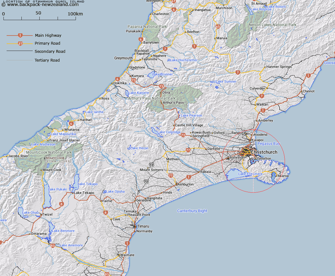
Otamahua/Quail Island Map New Zealand


New Zealand places in our database
[ A ] [ B ] [ C ] [ D ] [ E ] [ F ] [ G ] [ H ] [ I ] [ J ] [ K ] [ L ] [ M ] [ N ] [ O ] [ P ] [ Q ] [ R ] [ S ] [ T ] [ U ] [ V ] [ W ] [ X ] [ Y ] [ Z ]


Closest 20 Islands to Otamahua/Quail Island

King Billy Island ( 0.73km )   Ripapa Island ( 5.36km )   Ripa Island ( 5.36km )   Pukerauaruhe Island ( 11.11km )   Horomonga Island ( 11.66km )   Horomaka Island ( 11.66km )   Beacon Rock ( 14.24km )   Jachin Island ( 26.05km )   Whale Island ( 29.93km )   Sail Rocks ( 32.92km )   Pa Island ( 34.27km )   The Long Boat ( 36.92km )   Long Boat ( 37.19km )   Crown Island ( 38.83km )   Pompeys Pillar ( 40.05km )   Rakaia Island ( 48.78km )   Browns Rock ( 56.61km )   Motunau Island ( 70.46km )   Manuka Island ( 104.59km )   Shag Rock ( 104.97km )   Cabbage Tree Island ( 108.33km )   Garden Island ( 111.5km )   Hearntown Island ( 112.75km )   Rangitata Island ( 112.75km )   Walkers Island ( 124.46km )   South Island ( 128.82km )   Te Waipounamu ( 128.82km )   Pukaroro Rock ( 138.25km )   Otumatu Rock ( 144.4km )   Rileys Lookout (Panau Island) ( 147.78km )   Refuge Island/Takataka ( 149.66km )   Refuge Island ( 149.66km )   Hans Island ( 154.89km )   Killeen Island ( 168.66km )   Tui Island ( 172.87km )   Cashmere Island ( 173.03km )   Frenchies Island ( 173.27km )   Motuariki Island ( 176.98km )   Cobden Island ( 178.86km )   Big Rock ( 183.66km )