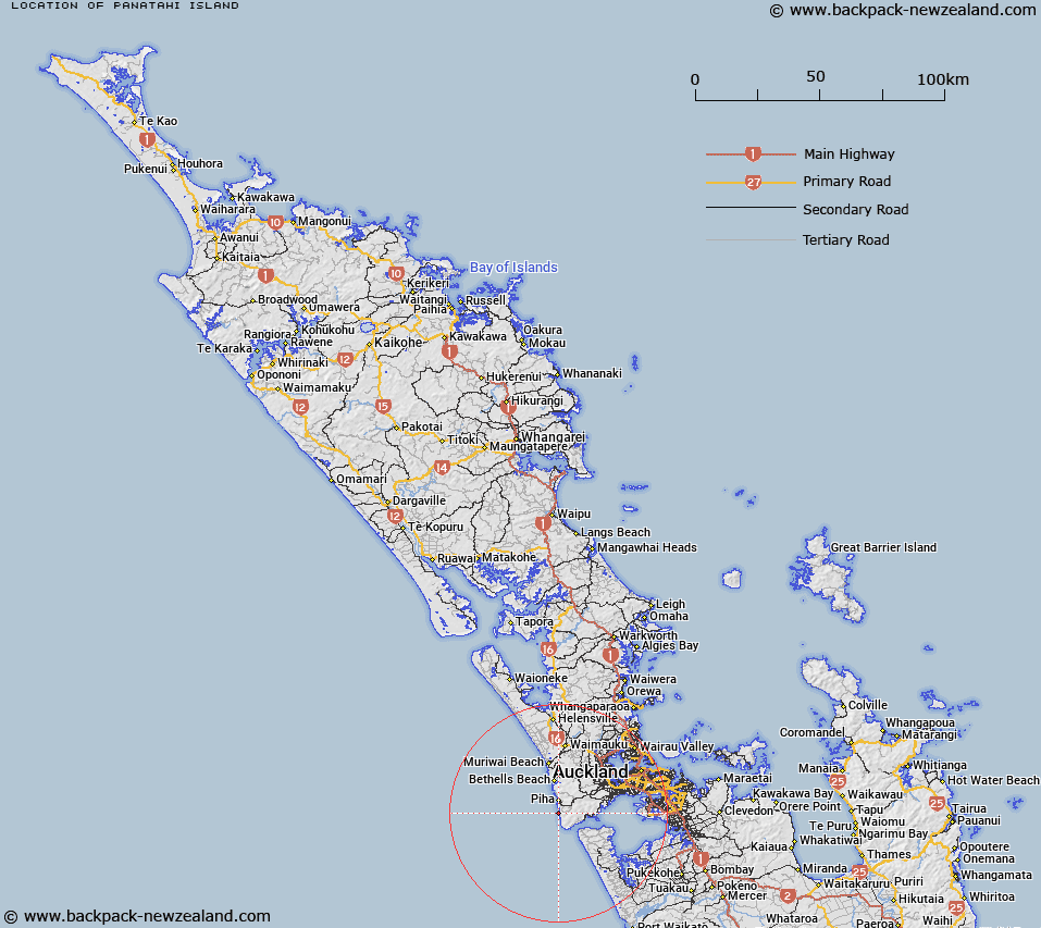
Map showing location of Panatahi Island


LINZ description: A very small island off the west coast of Auckland, height 20m, 370m southwest of Karekare Point. NZTopo50-BB30ptBB31 309047. Replacing Panatahi Island (official by New Zealand Gazette, 1 December 1988, No. 206, page 5173)
Latitude: -36.994729
Longitude: 174.470484
Northing: 5904701.8
Easting: 1730850.9
Land District: North Auckland
Feat Type: Island


Scroll down to see a more detailed road map and below that a topographical map showing the location of Panatahi Island. The road map has been supplied by openstreetmap and the topographical map of Panatahi Island has been supplied by Land Information New Zealand (LINZ).

Yes you can use the top static map for you school/university project or personal website with a link back. Contact me for any commercial use.

Panatahi Island Map New Zealand


New Zealand places in our database
[ A ] [ B ] [ C ] [ D ] [ E ] [ F ] [ G ] [ H ] [ I ] [ J ] [ K ] [ L ] [ M ] [ N ] [ O ] [ P ] [ Q ] [ R ] [ S ] [ T ] [ U ] [ V ] [ W ] [ X ] [ Y ] [ Z ]


Closest 20 Islands to Panatahi Island

Paratahi Island ( 0km )   Panatahi Island ( 0km )   Nun Rock ( 3.95km )   Taitomo Island ( 3.99km )   Lion Rock ( 4.57km )   Paratutae Island ( 6.81km )   Keyhole Rock ( 7.8km )   Ihumoana Island ( 11.91km )   Kauwahaia Island ( 12.39km )   Oaia Island ( 17.94km )   Motutara Island ( 18.41km )   Kauritutahi Island ( 19.95km )   Otamanewa Island ( 21.51km )   Motum?nawa / Pollen Island ( 23.04km )   Pollen Island ( 23.04km )   Traherne Island ( 23.12km )   Te Motu-a-Hiaroa ( 23.99km )   Puketutu Island ( 23.99km )   Herald Island ( 29.02km )   Pine Island ( 29.02km )   Watchman Island ( 29.26km )   Watchman Island / Te K?k?whakaara ( 29.26km )   Wiroa Island ( 29.78km )   Ngarango Otainui Island ( 31.68km )   Shark Island ( 35.56km )   Bean Rocks ( 36.7km )   Pararekau Island ( 39.61km )   Rangitoto Island ( 40.85km )   Ng? Tuaitara-a-Taikehu ( 40.85km )   Te Rangi-i-Totongia-a-Tamatekapua ( 40.85km )   The Tor ( 41.27km )   Browns Island (Motukorea) ( 41.94km )   Opahekeheke Island ( 42.54km )   Puharakeke Island ( 42.94km )   Waikauri Island ( 43.24km )   Motukuru Island ( 43.5km )   Wade Island ( 44.53km )   Kaiwaka No. 1 Island ( 44.63km )   Pakepake Island ( 45.24km )   Emu Rock ( 45.27km )