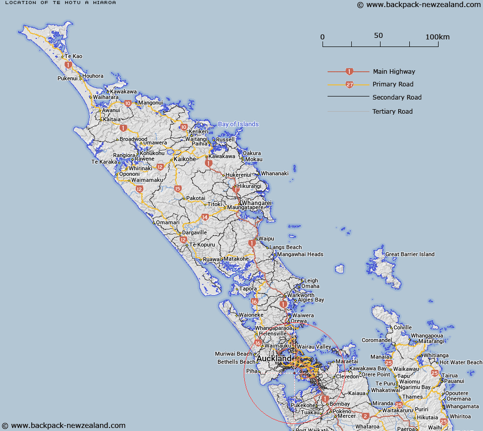
Map showing location of Te Motu-a-Hiaroa


LINZ description: Brother Rakataura are said to have stayed on the island. Feature shown on: NZMS260 R11; NZTopo50-BB31 555075
Latitude: -36.963194
Longitude: 174.737639
Northing: 5907799.9
Easting: 1754689.4
Land District: North Auckland
Feat Type: Island


Scroll down to see a more detailed road map and below that a topographical map showing the location of Te Motu-a-Hiaroa. The road map has been supplied by openstreetmap and the topographical map of Te Motu-a-Hiaroa has been supplied by Land Information New Zealand (LINZ).

Yes you can use the top static map for you school/university project or personal website with a link back. Contact me for any commercial use.

Te Motu-a-Hiaroa Map New Zealand


New Zealand places in our database
[ A ] [ B ] [ C ] [ D ] [ E ] [ F ] [ G ] [ H ] [ I ] [ J ] [ K ] [ L ] [ M ] [ N ] [ O ] [ P ] [ Q ] [ R ] [ S ] [ T ] [ U ] [ V ] [ W ] [ X ] [ Y ] [ Z ]


Closest 20 Islands to Te Motu-a-Hiaroa

Ngarango Otainui Island ( 7.81km )   Wiroa Island ( 8.55km )   Traherne Island ( 11.08km )   Motum?nawa / Pollen Island ( 12.72km )   Pollen Island ( 12.72km )   Watchman Island ( 14.27km )   Watchman Island / Te K?k?whakaara ( 14.27km )   Shark Island ( 15.47km )   Kauritutahi Island ( 15.92km )   Bean Rocks ( 16.62km )   Otamanewa Island ( 17.67km )   Pararekau Island ( 18.75km )   Browns Island (Motukorea) ( 20.39km )   Wade Island ( 20.56km )   Te Rangi-i-Totongia-a-Tamatekapua ( 21.49km )   Ng? Tuaitara-a-Taikehu ( 21.49km )   Rangitoto Island ( 21.49km )   Herald Island ( 21.69km )   Pine Island ( 21.69km )   Paratutae Island ( 22.21km )   Motukaraka Island ( 23.45km )   Paratahi Island ( 23.99km )   Panatahi Island ( 23.99km )   Lion Rock ( 24.19km )   Emu Rock ( 24.34km )   Taitomo Island ( 24.44km )   Nun Rock ( 24.46km )   Keyhole Rock ( 24.89km )   Rock Island ( 25km )   Motuihe Island ( 25.06km )   Motuihe Island / Te Motu-a-Ihenga ( 25.06km )   Motuihi Island ( 25.06km )   Papakohatu Island (Crusoe Island) ( 26.81km )   Kauwahaia Island ( 28.05km )   Ihumoana Island ( 28.57km )   Motutapu Island ( 28.76km )   Te Motu-tapu-a-Taikehu ( 28.76km )   Te Motu-tapu-o-Tinirau ( 28.76km )   Motukaha Island ( 28.92km )   The Tor ( 29.01km )