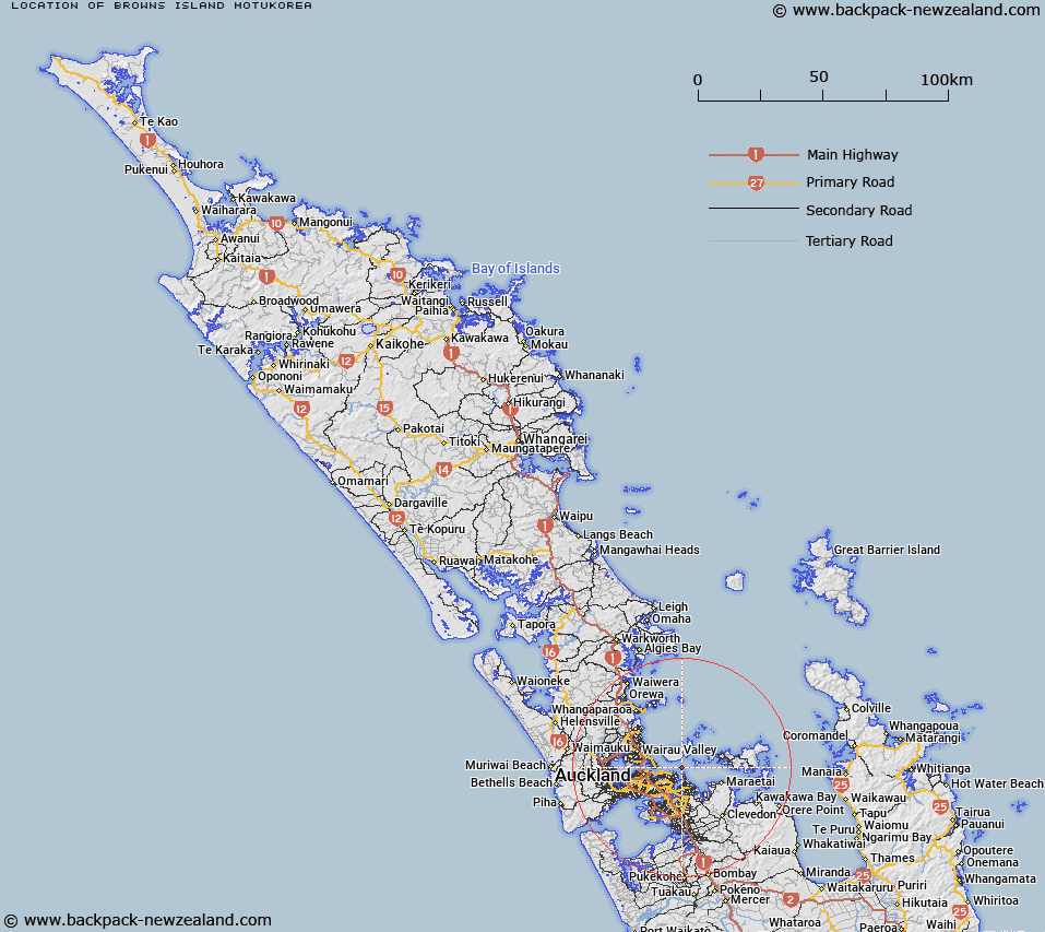
Map showing location of Browns Island (Motukorea)


LINZ description: A small volcanic island in Hauraki Gulf / TÄ«kapa Moana that forms the southern extent of Motukorea Channel. Located approximately 2km north of Musick Point / Te Naupata. Feature shown on: NZMS260 R11 Edition 2 1994; NZTopo50-BA32 690223.
Latitude: -36.829457
Longitude: 174.894513
Northing: 5922371.5
Easting: 1768950.8
Land District: North Auckland
Feat Type: Island


Scroll down to see a more detailed road map and below that a topographical map showing the location of Browns Island (Motukorea). The road map has been supplied by openstreetmap and the topographical map of Browns Island (Motukorea) has been supplied by Land Information New Zealand (LINZ).

Yes you can use the top static map for you school/university project or personal website with a link back. Contact me for any commercial use.

Browns Island (Motukorea) Map New Zealand


New Zealand places in our database
[ A ] [ B ] [ C ] [ D ] [ E ] [ F ] [ G ] [ H ] [ I ] [ J ] [ K ] [ L ] [ M ] [ N ] [ O ] [ P ] [ Q ] [ R ] [ S ] [ T ] [ U ] [ V ] [ W ] [ X ] [ Y ] [ Z ]


Closest 20 Islands to Browns Island (Motukorea)

Emu Rock ( 4.09km )   Rock Island ( 4.62km )   Motuihi Island ( 5.06km )   Motuihe Island ( 5.06km )   Motuihe Island / Te Motu-a-Ihenga ( 5.06km )   Ng? Tuaitara-a-Taikehu ( 5.21km )   Te Rangi-i-Totongia-a-Tamatekapua ( 5.21km )   Rangitoto Island ( 5.21km )   Bean Rocks ( 5.69km )   Papakohatu Island (Crusoe Island) ( 7.21km )   Te Motu-tapu-a-Taikehu ( 8.75km )   Motutapu Island ( 8.75km )   Te Motu-tapu-o-Tinirau ( 8.75km )   Motukaha Island ( 8.97km )   Motukaraka Island ( 9.24km )   Awash Rock ( 11.41km )   South Island ( 11.85km )   Sandy Bay Island ( 12.39km )   Wade Island ( 12.43km )   Three Sisters ( 12.51km )   Rakino Island ( 13.44km )   Woody Island ( 13.52km )   Koi Island ( 13.84km )   Ngarango Otainui Island ( 13.85km )   Watchman Island ( 14.48km )   Watchman Island / Te K?k?whakaara ( 14.48km )   Nani Island ( 14.98km )   Orarapa Island (The Haystack) ( 15.57km )   Otata Island ( 16.53km )   The Noisies ( 16.54km )   The Noises ( 16.54km )   Maria Island ( 16.66km )   Ruapuke Island ( 16.66km )   Motuhurakia Island ( 16.76km )   Motuhoropapa Island ( 16.76km )   The Tor ( 18.68km )   Waiheke Island ( 19.07km )   Ahaaha Rocks ( 19.31km )   Traherne Island ( 19.52km )   D'Urville Rocks ( 19.68km )