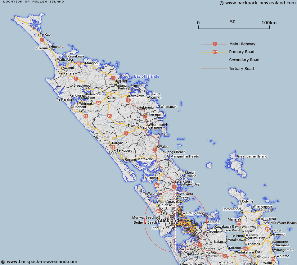
Map showing location of Pollen Island


LINZ description: A narrow island approximately 1.5km long located within the tidal estuary of the southwestern shores of Waitemata Harbour, adjoining Auckland’s north-western motorway. Feature shown on: NZMS260 R11; NZTopo50-BA31 489190. Replacing Pollen Island (recorded name).
Latitude: -36.862417
Longitude: 174.670028
Northing: 5919088.3
Easting: 1748865.8
Land District: North Auckland
Feat Type: Island


Scroll down to see a more detailed road map and below that a topographical map showing the location of Pollen Island. The road map has been supplied by openstreetmap and the topographical map of Pollen Island has been supplied by Land Information New Zealand (LINZ).

Yes you can use the top static map for you school/university project or personal website with a link back. Contact me for any commercial use.

Pollen Island Map New Zealand


New Zealand places in our database
[ A ] [ B ] [ C ] [ D ] [ E ] [ F ] [ G ] [ H ] [ I ] [ J ] [ K ] [ L ] [ M ] [ N ] [ O ] [ P ] [ Q ] [ R ] [ S ] [ T ] [ U ] [ V ] [ W ] [ X ] [ Y ] [ Z ]


Closest 20 Islands to Pollen Island

Traherne Island ( 1.68km )   Watchman Island ( 6.3km )   Watchman Island / Te K?k?whakaara ( 6.3km )   Pine Island ( 9.3km )   Herald Island ( 9.3km )   Puketutu Island ( 12.72km )   Te Motu-a-Hiaroa ( 12.72km )   Bean Rocks ( 14.66km )   Ngarango Otainui Island ( 15.82km )   Te Rangi-i-Totongia-a-Tamatekapua ( 18.16km )   Rangitoto Island ( 18.16km )   Ng? Tuaitara-a-Taikehu ( 18.16km )   The Tor ( 19.36km )   Keyhole Rock ( 19.79km )   Browns Island (Motukorea) ( 20.31km )   Lion Rock ( 20.82km )   Kauwahaia Island ( 20.9km )   Wiroa Island ( 21.08km )   Taitomo Island ( 21.37km )   Nun Rock ( 21.4km )   Ihumoana Island ( 21.76km )   Motutara Island ( 22.1km )   Emu Rock ( 23.02km )   Paratahi Island ( 23.04km )   Panatahi Island ( 23.04km )   Oaia Island ( 23.22km )   Rock Island ( 24.3km )   Paratutae Island ( 24.93km )   Motuihe Island ( 25.3km )   Motuihi Island ( 25.3km )   Motuihe Island / Te Motu-a-Ihenga ( 25.3km )   Kauritutahi Island ( 25.55km )   Te Motu-tapu-o-Tinirau ( 26.18km )   Motutapu Island ( 26.18km )   Te Motu-tapu-a-Taikehu ( 26.18km )   Wade Island ( 27.12km )   Papakohatu Island (Crusoe Island) ( 27.5km )   Motukaraka Island ( 27.53km )   Kotanui Island (Frenchmans Cap) ( 27.58km )   Otamanewa Island ( 27.64km )