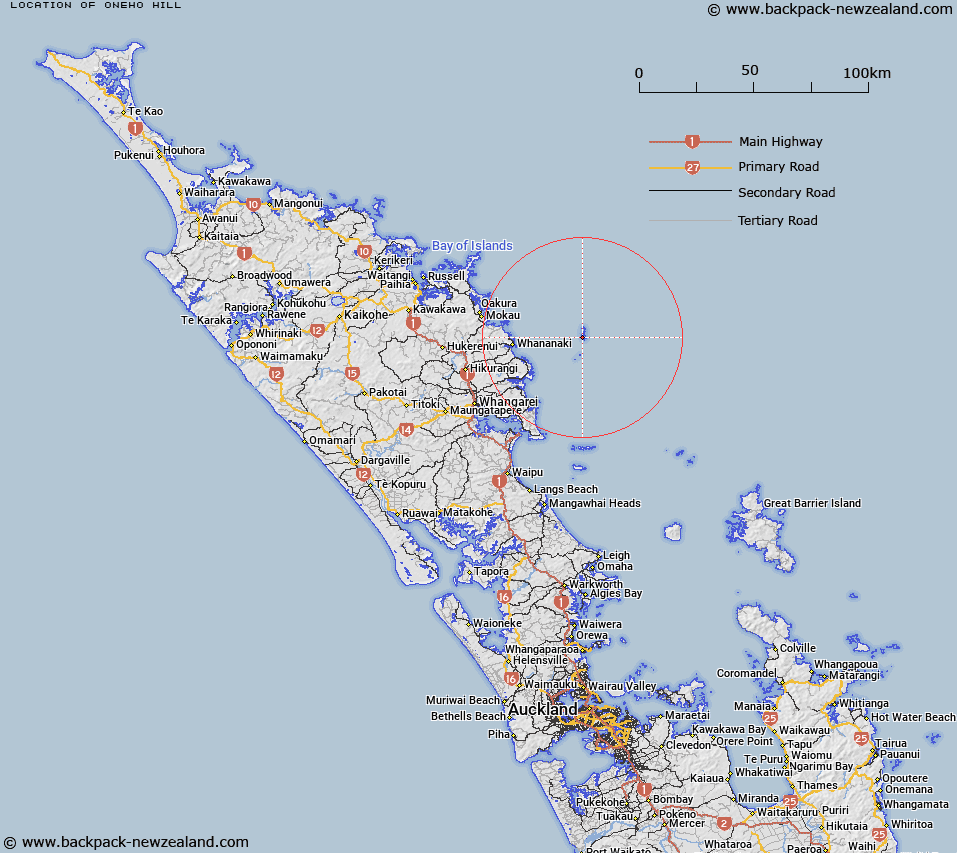
Map showing location of Oneho Hill
LINZ description: Trig. Station CIII (Geodetic Code B2WE), and summit of Aorangi Island, the highest point in the Poor Knights Islands.
Latitude: -35.484057
Longitude: 174.736156
Northing: 6071889.3
Easting: 1757496.4
Land District: North Auckland
Feat Type: Hill
Latitude: -35.484057
Longitude: 174.736156
Northing: 6071889.3
Easting: 1757496.4
Land District: North Auckland
Feat Type: Hill

Scroll down to see a more detailed road map and below that a topographical map showing the location of Oneho Hill. The road map has been supplied by openstreetmap and the topographical map of Oneho Hill has been supplied by Land Information New Zealand (LINZ).
Yes you can use the top static map for you school/university project or personal website with a link back. Contact me for any commercial use.
[ A ] [ B ] [ C ] [ D ] [ E ] [ F ] [ G ] [ H ] [ I ] [ J ] [ K ] [ L ] [ M ] [ N ] [ O ] [ P ] [ Q ] [ R ] [ S ] [ T ] [ U ] [ V ] [ W ] [ X ] [ Y ] [ Z ]