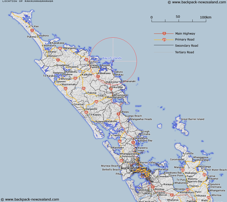
Map showing location of Rakaumangamanga
LINZ description: At height 362m geodetic code 1373 north east of the Bay of Islands, south of Cape Brett. Feature shown on: NZMS260 Q05
Latitude: -35.189797
Longitude: 174.329039
Northing: 6105100
Easting: 1721000
Land District: North Auckland
Feat Type: Hill
Latitude: -35.189797
Longitude: 174.329039
Northing: 6105100
Easting: 1721000
Land District: North Auckland
Feat Type: Hill

Scroll down to see a more detailed road map and below that a topographical map showing the location of Rakaumangamanga. The road map has been supplied by openstreetmap and the topographical map of Rakaumangamanga has been supplied by Land Information New Zealand (LINZ).
Yes you can use the top static map for you school/university project or personal website with a link back. Contact me for any commercial use.
[ A ] [ B ] [ C ] [ D ] [ E ] [ F ] [ G ] [ H ] [ I ] [ J ] [ K ] [ L ] [ M ] [ N ] [ O ] [ P ] [ Q ] [ R ] [ S ] [ T ] [ U ] [ V ] [ W ] [ X ] [ Y ] [ Z ]