Map showing location of Mount Parihaki
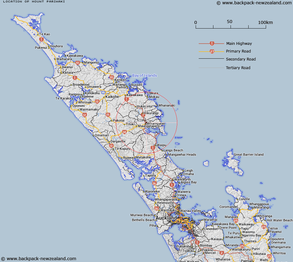
LINZ description: Hill at height 241m, just east of Whangarei. A beaconed trig station and lookout are located at the summit
Latitude: -35.712652
Longitude: 174.336791
Northing: 6047098.4
Easting: 1720920.8
Land District: North Auckland
Feat Type: Hill
Latitude: -35.712652
Longitude: 174.336791
Northing: 6047098.4
Easting: 1720920.8
Land District: North Auckland
Feat Type: Hill

Scroll down to see a more detailed road map and below that a topographical map showing the location of Mount Parihaki. The road map has been supplied by openstreetmap and the topographical map of Mount Parihaki has been supplied by Land Information New Zealand (LINZ).
Yes you can use the top static map for you school/university project or personal website with a link back. Contact me for any commercial use.
[ A ] [ B ] [ C ] [ D ] [ E ] [ F ] [ G ] [ H ] [ I ] [ J ] [ K ] [ L ] [ M ] [ N ] [ O ] [ P ] [ Q ] [ R ] [ S ] [ T ] [ U ] [ V ] [ W ] [ X ] [ Y ] [ Z ]