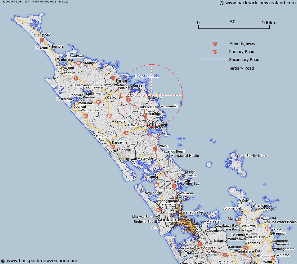
Map showing location of Pararaunui Hill


LINZ description: On the south east arm east of Whangaruru Harbour, south of Bland Bay at height of 136
Latitude: -35.375943
Longitude: 174.372815
Northing: 6084400
Easting: 1724700
Land District: North Auckland
Feat Type: Hill


Scroll down to see a more detailed road map and below that a topographical map showing the location of Pararaunui Hill. The road map has been supplied by openstreetmap and the topographical map of Pararaunui Hill has been supplied by Land Information New Zealand (LINZ).

Yes you can use the top static map for you school/university project or personal website with a link back. Contact me for any commercial use.

Pararaunui Hill Map New Zealand


New Zealand places in our database
[ A ] [ B ] [ C ] [ D ] [ E ] [ F ] [ G ] [ H ] [ I ] [ J ] [ K ] [ L ] [ M ] [ N ] [ O ] [ P ] [ Q ] [ R ] [ S ] [ T ] [ U ] [ V ] [ W ] [ X ] [ Y ] [ Z ]


Closest 20 Hills to Pararaunui Hill

Pararaunui Hill ( 0km )   Whiowhio ( 5.77km )   Orangikahu ( 7.17km )   Monoa ( 7.89km )   Puketawhiringatua Hill ( 8.43km )   Huruiki ( 8.82km )   Pukemoremore ( 8.97km )   Te Ranga ( 11.01km )   Taumatahinau ( 11.42km )   Hansens Hill ( 11.7km )   Te Rangi ( 12.8km )   Onekainga ( 13.83km )   Otamaua ( 14.93km )   Broken Hill ( 16.16km )   Opuawhanga ( 16.29km )   Tukuehi ( 16.7km )   Pukehuia Hill ( 17.57km )   Pukehuia ( 17.6km )   Te Tawa Hill ( 19.22km )   Koheroa ( 20.09km )   Toroti ( 20.64km )   Rakaumangamanga ( 21.08km )   Popoia ( 21.74km )   Tikitikioure ( 22.08km )   Tikitikiora ( 22.08km )   Kiripaka ( 24.69km )   Te Mata ( 24.75km )   Towai Hill ( 26.35km )   Maiki Hill ( 26.49km )   Hikurangi ( 26.56km )   Te Ngau ( 26.91km )   Kawakawa ( 28.51km )   Hobson Hill ( 30.37km )   Tarakihi ( 30.82km )   Okapa ( 30.84km )   Ngatuturu ( 31.7km )   Marohapa ( 31.91km )   Mount Bledisloe ( 32.08km )   Te Arakanihi ( 32.44km )   Parakiore ( 32.53km )