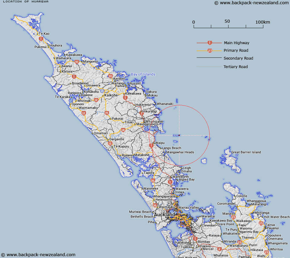
Map showing location of Huarewa
LINZ description: The hill at western part which forms the highest portion of Coppermine Island in the Hen and Chickens Islands. The highest point on the island.
Latitude: -35.889613
Longitude: 174.768332
Northing: 6026850.9
Easting: 1759605.4
Land District: North Auckland
Feat Type: Hill
Latitude: -35.889613
Longitude: 174.768332
Northing: 6026850.9
Easting: 1759605.4
Land District: North Auckland
Feat Type: Hill

Scroll down to see a more detailed road map and below that a topographical map showing the location of Huarewa. The road map has been supplied by openstreetmap and the topographical map of Huarewa has been supplied by Land Information New Zealand (LINZ).
Yes you can use the top static map for you school/university project or personal website with a link back. Contact me for any commercial use.
[ A ] [ B ] [ C ] [ D ] [ E ] [ F ] [ G ] [ H ] [ I ] [ J ] [ K ] [ L ] [ M ] [ N ] [ O ] [ P ] [ Q ] [ R ] [ S ] [ T ] [ U ] [ V ] [ W ] [ X ] [ Y ] [ Z ]