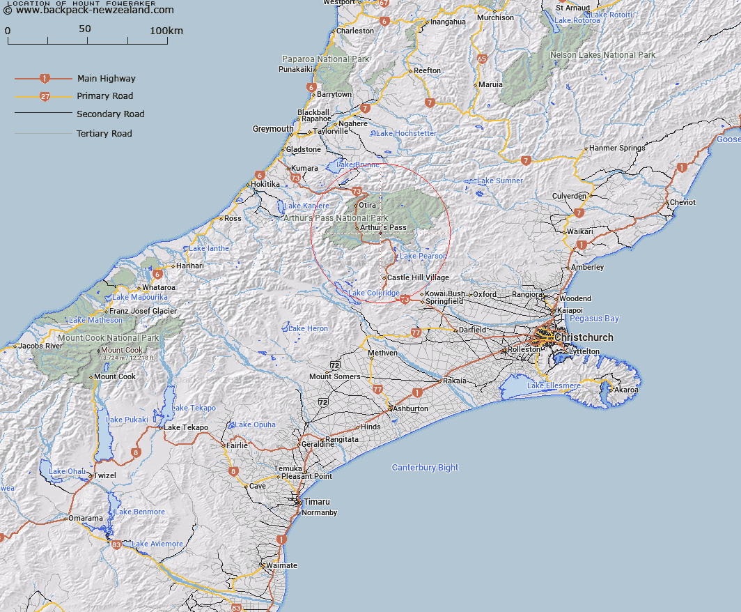
Map showing location of Mount Foweraker
LINZ description: A peak at height 1804 m located between Red Beech Stream and Sudden Valley Stream in Arthur’s Pass National Park, approximately 8.5 km northwest of Cass. NZTopo50-BV21 937413.
Latitude: -42.973375
Longitude: 171.697072
Northing: 5241318.4
Easting: 1493754
Land District: Canterbury
Feat Type: Hill
Latitude: -42.973375
Longitude: 171.697072
Northing: 5241318.4
Easting: 1493754
Land District: Canterbury
Feat Type: Hill

Scroll down to see a more detailed road map and below that a topographical map showing the location of Mount Foweraker. The road map has been supplied by openstreetmap and the topographical map of Mount Foweraker has been supplied by Land Information New Zealand (LINZ).
Yes you can use the top static map for you school/university project or personal website with a link back. Contact me for any commercial use.
[ A ] [ B ] [ C ] [ D ] [ E ] [ F ] [ G ] [ H ] [ I ] [ J ] [ K ] [ L ] [ M ] [ N ] [ O ] [ P ] [ Q ] [ R ] [ S ] [ T ] [ U ] [ V ] [ W ] [ X ] [ Y ] [ Z ]