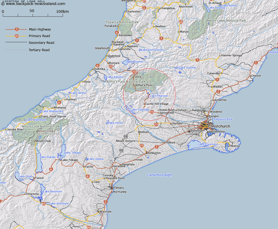
Map showing location of Long Hill


LINZ description: South-east of Lake Grasmere. Runs north-east and south-west from Trig T
Latitude: -43.075628
Longitude: 171.792124
Northing: 5230078.9
Easting: 1501668.4
Land District: Canterbury
Feat Type: Hill


Scroll down to see a more detailed road map and below that a topographical map showing the location of Long Hill. The road map has been supplied by openstreetmap and the topographical map of Long Hill has been supplied by Land Information New Zealand (LINZ).

Yes you can use the top static map for you school/university project or personal website with a link back. Contact me for any commercial use.

Long Hill Map New Zealand


New Zealand places in our database
[ A ] [ B ] [ C ] [ D ] [ E ] [ F ] [ G ] [ H ] [ I ] [ J ] [ K ] [ L ] [ M ] [ N ] [ O ] [ P ] [ Q ] [ R ] [ S ] [ T ] [ U ] [ V ] [ W ] [ X ] [ Y ] [ Z ]


Closest 20 Hills to Long Hill

Og ( 1.41km )   Gog ( 2.66km )   Purple Hill ( 4.07km )   Magog ( 4.08km )   Sugar Loaf ( 4.35km )   Remus ( 4.79km )   Mount Saint Bernard ( 4.96km )   Romulus ( 4.99km )   Baldy Hill ( 5.22km )   Mount Manson ( 5.86km )   Cass Hill ( 6.15km )   Mount Misery ( 7.74km )   Mount Binser ( 7.75km )   Corner Knob ( 7.97km )   Bullock Hill ( 7.99km )   Mount Horrible ( 8.12km )   Helicopter Hill ( 8.84km )   Hamilton Peak ( 9.37km )   Broken Hill ( 9.39km )   The Puffer ( 9.59km )   Nervous Knob ( 10.35km )   Nomans Land ( 10.41km )   Bridge Hill ( 10.91km )   Whale Hill ( 11.52km )   Mount Wall ( 11.53km )   Little Peveril ( 11.66km )   Flock Hill ( 12km )   Woolshed Hill ( 12.28km )   Stag Hill ( 12.49km )   Lake Hill ( 12.86km )   Peveril Peak ( 13.03km )   Mount Rosa ( 13.24km )   Mount Cockayne ( 13.54km )   The Pyramid Peak ( 13.66km )   Mount Foweraker ( 13.75km )   Sugar Loaf ( 14.42km )   Mount Bruce ( 14.58km )   Hogs Back ( 14.64km )   Gorge Hill ( 14.72km )   Dome ( 15.06km )