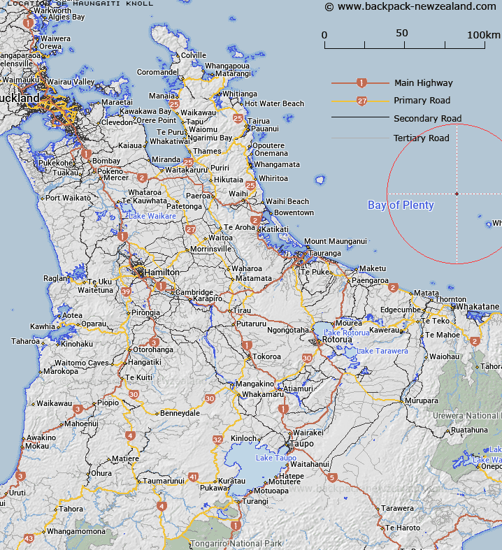
Map showing location of Maungaiti Knoll
LINZ description: An isolated knoll northwest of Whakaari / White Island, Bay of Plenty. Depicted on Chart NZ 5423.
Latitude: -37.3604
Longitude: 177.0062
Northing: 5857611
Easting: 1954843.3
Land District: South Auckland
Feat Type: Knoll
Latitude: -37.3604
Longitude: 177.0062
Northing: 5857611
Easting: 1954843.3
Land District: South Auckland
Feat Type: Knoll

Scroll down to see a more detailed road map and below that a topographical map showing the location of Maungaiti Knoll. The road map has been supplied by openstreetmap and the topographical map of Maungaiti Knoll has been supplied by Land Information New Zealand (LINZ).
Yes you can use the top static map for you school/university project or personal website with a link back. Contact me for any commercial use.
[ A ] [ B ] [ C ] [ D ] [ E ] [ F ] [ G ] [ H ] [ I ] [ J ] [ K ] [ L ] [ M ] [ N ] [ O ] [ P ] [ Q ] [ R ] [ S ] [ T ] [ U ] [ V ] [ W ] [ X ] [ Y ] [ Z ]