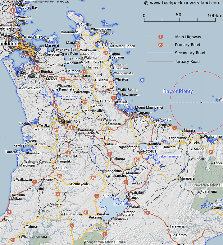
Map showing location of Rungapapa Knoll
LINZ description: A nearly circular knoll in the Bay of Plenty, west of Whakaari / White Island.
Latitude: -37.550667
Longitude: 176.983333
Northing: 5836575
Easting: 1951922.6
Land District: South Auckland
Feat Type: Knoll
Latitude: -37.550667
Longitude: 176.983333
Northing: 5836575
Easting: 1951922.6
Land District: South Auckland
Feat Type: Knoll

Scroll down to see a more detailed road map and below that a topographical map showing the location of Rungapapa Knoll. The road map has been supplied by openstreetmap and the topographical map of Rungapapa Knoll has been supplied by Land Information New Zealand (LINZ).
Yes you can use the top static map for you school/university project or personal website with a link back. Contact me for any commercial use.
[ A ] [ B ] [ C ] [ D ] [ E ] [ F ] [ G ] [ H ] [ I ] [ J ] [ K ] [ L ] [ M ] [ N ] [ O ] [ P ] [ Q ] [ R ] [ S ] [ T ] [ U ] [ V ] [ W ] [ X ] [ Y ] [ Z ]