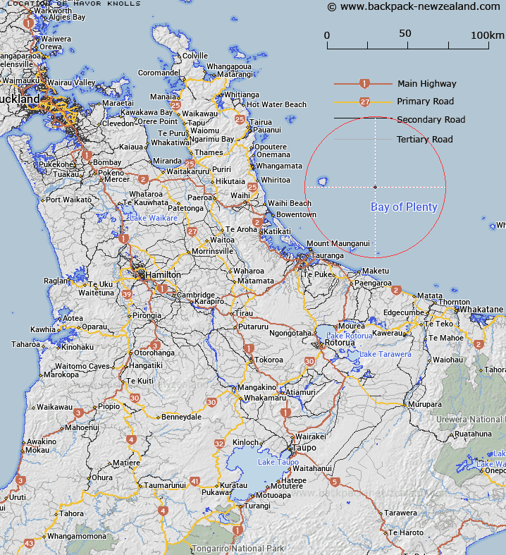
Map showing location of Mayor Knolls
LINZ description: Bay of Plenty, North Island. A group of knolls east of Mayor Island in the Bay of Plenty 45 km NE of Tauranga, Bay of Plenty and 17.8 km E of Mayor Island. This is a cluster of nine isolated conical seamounts which rise from a depth of 550 m. The tallest rises to 250 m below sea level.
Latitude: -37.318864
Longitude: 176.54454
Northing: 5863859.4
Easting: 1914110.9
Land District: South Auckland
Feat Type: Knoll
Latitude: -37.318864
Longitude: 176.54454
Northing: 5863859.4
Easting: 1914110.9
Land District: South Auckland
Feat Type: Knoll

Scroll down to see a more detailed road map and below that a topographical map showing the location of Mayor Knolls. The road map has been supplied by openstreetmap and the topographical map of Mayor Knolls has been supplied by Land Information New Zealand (LINZ).
Yes you can use the top static map for you school/university project or personal website with a link back. Contact me for any commercial use.
[ A ] [ B ] [ C ] [ D ] [ E ] [ F ] [ G ] [ H ] [ I ] [ J ] [ K ] [ L ] [ M ] [ N ] [ O ] [ P ] [ Q ] [ R ] [ S ] [ T ] [ U ] [ V ] [ W ] [ X ] [ Y ] [ Z ]