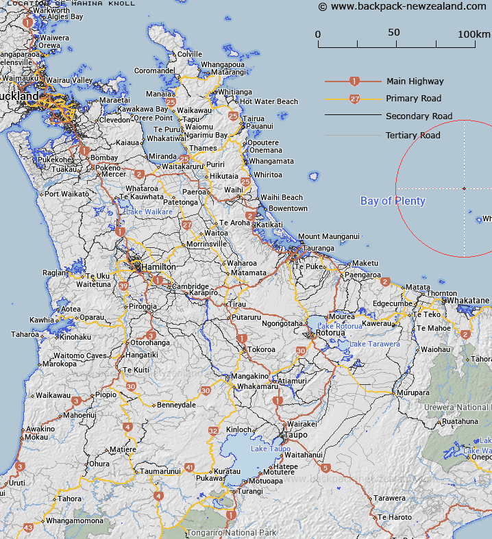
Map showing location of Mahina Knoll
LINZ description: Bay of Plenty, North Island A knoll to the northwest of the White Island Ridge in the outer Bay of Plenty region 83 km NE of Tauranga, Bay of Plenty. This is an isolated conical seamount which rises to 256 m from a depth of 650 m and has an area of 35.30 sq km. It has a central crater, 1.5 km wide and 150 m deep, and is considered to be volcanic.
Latitude: -37.354833
Longitude: 177.101
Northing: 5857867.8
Easting: 1963270.7
Land District: South Auckland
Feat Type: Knoll
Latitude: -37.354833
Longitude: 177.101
Northing: 5857867.8
Easting: 1963270.7
Land District: South Auckland
Feat Type: Knoll

Scroll down to see a more detailed road map and below that a topographical map showing the location of Mahina Knoll. The road map has been supplied by openstreetmap and the topographical map of Mahina Knoll has been supplied by Land Information New Zealand (LINZ).
Yes you can use the top static map for you school/university project or personal website with a link back. Contact me for any commercial use.
[ A ] [ B ] [ C ] [ D ] [ E ] [ F ] [ G ] [ H ] [ I ] [ J ] [ K ] [ L ] [ M ] [ N ] [ O ] [ P ] [ Q ] [ R ] [ S ] [ T ] [ U ] [ V ] [ W ] [ X ] [ Y ] [ Z ]