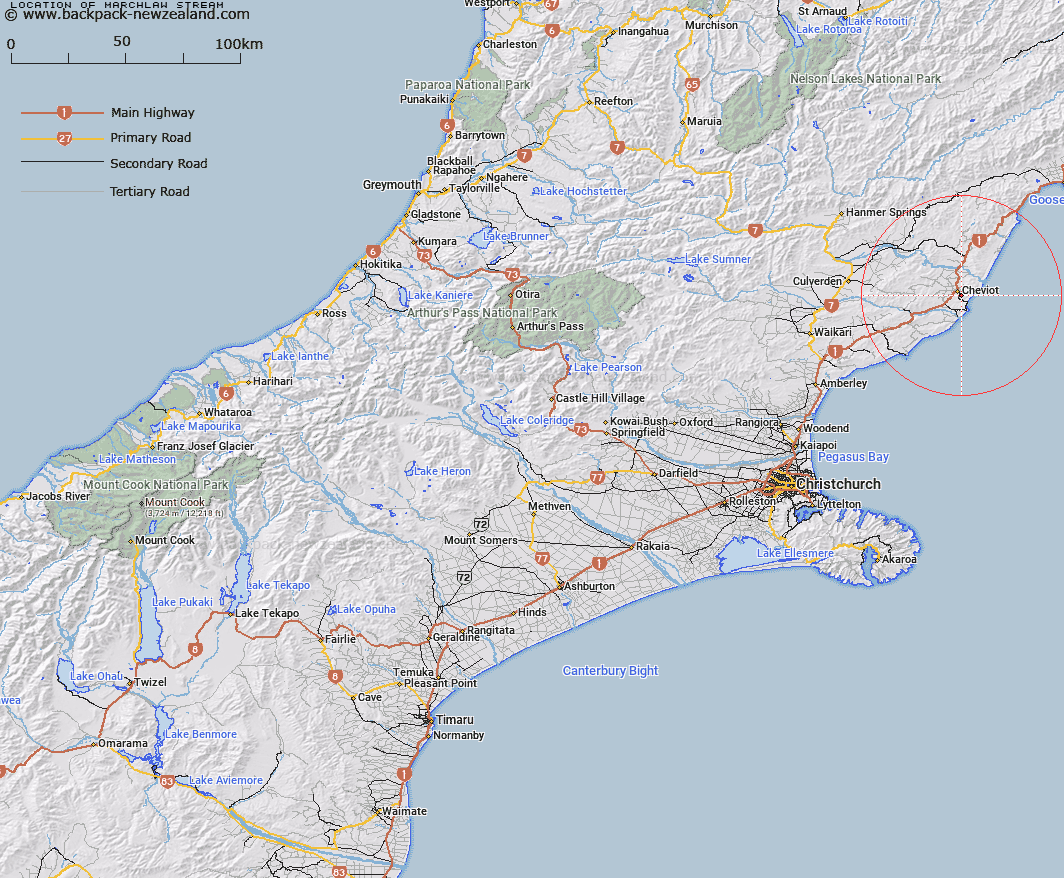
Map showing location of Marchlaw Stream


LINZ description: Left bank tributary of Jed River rising West of Mount Maccoinnich [Trig. M (Geodetic Code ANY3)], flowing westward and joining the Jed River at Cheviot Hills homestead. Blocks VII and IX Cheviot Survey District.
Latitude: -42.82712
Longitude: 173.290635
Northing: 5258341.9
Easting: 1623755.5
Land District: Canterbury
Feat Type: Stream


Scroll down to see a more detailed road map and below that a topographical map showing the location of Marchlaw Stream. The road map has been supplied by openstreetmap and the topographical map of Marchlaw Stream has been supplied by Land Information New Zealand (LINZ).

Yes you can use the top static map for you school/university project or personal website with a link back. Contact me for any commercial use.

Marchlaw Stream Map New Zealand


New Zealand places in our database
[ A ] [ B ] [ C ] [ D ] [ E ] [ F ] [ G ] [ H ] [ I ] [ J ] [ K ] [ L ] [ M ] [ N ] [ O ] [ P ] [ Q ] [ R ] [ S ] [ T ] [ U ] [ V ] [ W ] [ X ] [ Y ] [ Z ]


Closest 20 Streams to Marchlaw Stream

Jed River ( 1.47km )   Buxton Creek ( 3.38km )   Woolshed Stream ( 3.51km )   Catlin Stream ( 3.64km )   Bruce Stream ( 4.5km )   Caroline Stream ( 5.03km )   Cadman Stream ( 5.5km )   Honeymoon Creek ( 6.83km )   Barnes Stream ( 6.86km )   Dalziel Stream ( 6.89km )   Crystal Brook ( 6.96km )   Swamp Stream ( 9.3km )   McPherson Stream ( 9.49km )   Shingly Stream ( 9.8km )   Catherine Stream ( 10.86km )   Leamington Stream ( 11.02km )   Gower River ( 11.02km )   Hematite Stream ( 13.35km )   Benmore Stream ( 14.98km )   Sisters Stream ( 15.14km )   Athlone Stream ( 15.91km )   Medina River ( 16.24km )   Blythe River ( 16.99km )   Inverness Stream ( 17km )   Glen Albyn Stream ( 17.67km )   Fern Flat Stream ( 17.97km )   Hawkswood Stream ( 18.34km )   Bennett Stream ( 18.69km )   Dawn Creek ( 19.63km )   Greta River ( 19.65km )   Castaly Stream ( 19.81km )   Anstey Stream ( 20.3km )   Black Creek ( 20.47km )   Kaiwara River ( 20.57km )   Chilly Stream ( 20.72km )   Glen Jon Stream ( 20.98km )   Black Birch Creek ( 21km )   Castaly River ( 21.04km )   Hookhamsnyvy Creek ( 21.57km )   Waingaro Stream ( 22.39km )