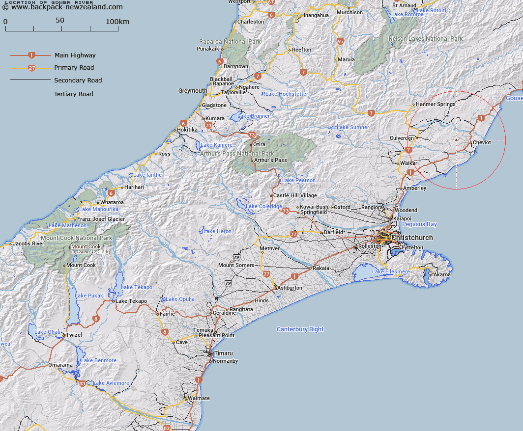
Map showing location of Gower River


LINZ description: Tributary of the Waiau River rising from the Lowry Peaks Range and flowing generally North-eastward to it's junction with the Waiau River near Spotswood. Lowry Peaks Survey District.
Latitude: -42.792628
Longitude: 173.164025
Northing: 5262200
Easting: 1613414.3
Land District: Canterbury
Feat Type: Stream


Scroll down to see a more detailed road map and below that a topographical map showing the location of Gower River. The road map has been supplied by openstreetmap and the topographical map of Gower River has been supplied by Land Information New Zealand (LINZ).

Yes you can use the top static map for you school/university project or personal website with a link back. Contact me for any commercial use.

Gower River Map New Zealand


New Zealand places in our database
[ A ] [ B ] [ C ] [ D ] [ E ] [ F ] [ G ] [ H ] [ I ] [ J ] [ K ] [ L ] [ M ] [ N ] [ O ] [ P ] [ Q ] [ R ] [ S ] [ T ] [ U ] [ V ] [ W ] [ X ] [ Y ] [ Z ]


Closest 20 Streams to Gower River

Swamp Stream ( 1.73km )   Crystal Brook ( 4.28km )   Catherine Stream ( 4.49km )   McPherson Stream ( 4.99km )   Hematite Stream ( 6.51km )   Bruce Stream ( 7.02km )   Caroline Stream ( 9.02km )   Catlin Stream ( 9.11km )   Benmore Stream ( 9.73km )   Woolshed Stream ( 10.46km )   Kaiwara River ( 10.61km )   Jed River ( 10.97km )   Marchlaw Stream ( 11.02km )   Honeymoon Creek ( 11.26km )   Glen Jon Stream ( 12.09km )   Buxton Creek ( 12.16km )   Athlone Stream ( 12.56km )   Anstey Stream ( 13.18km )   Sisters Stream ( 13.59km )   Barnes Stream ( 14.19km )   Cadman Stream ( 14.8km )   Shingly Stream ( 15.35km )   Dalziel Stream ( 15.36km )   Black Creek ( 15.45km )   Glen Albyn Stream ( 15.6km )   Bennett Stream ( 15.77km )   Greta River ( 15.91km )   Blythe River ( 15.96km )   Stanton River ( 16.73km )   Castaly River ( 16.8km )   Bourne Stream ( 16.89km )   Castaly Stream ( 17km )   Cobbolds Creek ( 18.12km )   Royal Stream ( 18.45km )   Hawkswood Stream ( 19.91km )   Black Birch Creek ( 20.13km )   Hookhamsnyvy Creek ( 20.4km )   Medina River ( 20.69km )   Chilly Stream ( 21.39km )   Fern Flat Stream ( 21.84km )