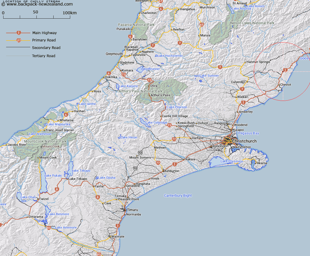
Map showing location of Chilly Stream


LINZ description: A tributary of Conway River rising in the Hawkswood Range flowing into the Conway 1km south east from Ferniehurst Railway Station.
Latitude: -42.642784
Longitude: 173.328133
Northing: 5278800
Easting: 1626900
Land District: Canterbury
Feat Type: Stream


Scroll down to see a more detailed road map and below that a topographical map showing the location of Chilly Stream. The road map has been supplied by openstreetmap and the topographical map of Chilly Stream has been supplied by Land Information New Zealand (LINZ).

Yes you can use the top static map for you school/university project or personal website with a link back. Contact me for any commercial use.

Chilly Stream Map New Zealand


New Zealand places in our database
[ A ] [ B ] [ C ] [ D ] [ E ] [ F ] [ G ] [ H ] [ I ] [ J ] [ K ] [ L ] [ M ] [ N ] [ O ] [ P ] [ Q ] [ R ] [ S ] [ T ] [ U ] [ V ] [ W ] [ X ] [ Y ] [ Z ]


Closest 20 Streams to Chilly Stream

Waingaro Stream ( 2.06km )   Hawkswood Stream ( 2.6km )   Hookhamsnyvy Creek ( 3.5km )   Rutherford Stream ( 3.92km )   Hewsons Stream ( 3.94km )   Glen Colwyn Stream ( 4.59km )   Boundary Stream ( 4.98km )   Mick Stream ( 6.19km )   Fern Flat Stream ( 6.21km )   Glen Albyn Stream ( 6.56km )   Castaly Stream ( 6.81km )   Ngaroma Stream ( 7.23km )   Bennett Stream ( 7.39km )   Medina River ( 7.47km )   Sawpit Creek ( 7.85km )   Sisters Stream ( 7.87km )   Dawn Creek ( 7.9km )   Open Creek ( 8.05km )   Sebastopol Creek ( 8.08km )   Inverness Stream ( 8.59km )   Ploughman Creek ( 8.72km )   Weatherhill Stream ( 8.77km )   Castaly River ( 9.26km )   Athlone Stream ( 9.57km )   Hundalee Stream ( 9.58km )   Silvery Creek ( 9.73km )   Royal Stream ( 10.05km )   Stocker Stream ( 10.39km )   Rocky Creek ( 10.51km )   Derek Stream ( 10.95km )   Shingly Stream ( 11.68km )   Limestone Stream ( 11.98km )   Gelt River ( 12.71km )   Blackburn Stream ( 12.75km )   Leader River ( 13.03km )   Birthday Creek ( 13.4km )   Waitotaranui Creek ( 13.65km )   Anstey Stream ( 14.61km )   Barnes Stream ( 14.74km )   Old Claverley Creek ( 14.85km )