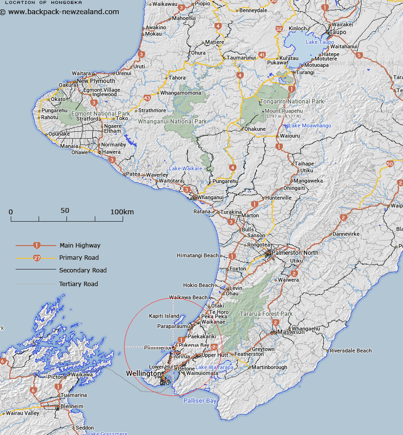
Map showing location of Hongoeka


LINZ description: NZTopo50 BP31-Porirua, GR 553 528 and NZTopo50 BP32-Paraparaumu, GR 564 529.
Latitude: -41.059804
Longitude: 174.861152
Northing: 5452935.4
Easting: 1756388
Land District: Wellington
Feat Type: Locality


Scroll down to see a more detailed road map and below that a topographical map showing the location of Hongoeka. The road map has been supplied by openstreetmap and the topographical map of Hongoeka has been supplied by Land Information New Zealand (LINZ).

Yes you can use the top static map for you school/university project or personal website with a link back. Contact me for any commercial use.

Hongoeka Map New Zealand


New Zealand places in our database
[ A ] [ B ] [ C ] [ D ] [ E ] [ F ] [ G ] [ H ] [ I ] [ J ] [ K ] [ L ] [ M ] [ N ] [ O ] [ P ] [ Q ] [ R ] [ S ] [ T ] [ U ] [ V ] [ W ] [ X ] [ Y ] [ Z ]


Closest 20 Localitys to Hongoeka

Paek?k?riki Hill ( 6.07km )   Mana Island ( 7.46km )   Colonial Knob ( 9.14km )   Judgeford ( 9.33km )   Te Ramaroa ( 14.09km )   Mackays Crossing ( 14.14km )   MacKays Crossing ( 14.14km )   Haywards ( 14.18km )   Whareroa ( 15.06km )   Nai Nai ( 16.93km )   Naenae ( 16.93km )   Ngae Ngae ( 16.93km )   Te Hikowhenua ( 20.27km )   Ngauranga ( 21.03km )   Ngahauranga ( 21.03km )   Makara Beach ( 21.75km )   Mangaroa ( 21.96km )   Whitemans Valley ( 22.2km )   Te Marua ( 22.61km )   Cloustonville ( 22.68km )   Te Kainga ( 22.85km )   Te Kaianga ( 22.85km )   Kaiwarawara ( 23km )   Kaiwhara ( 23km )   Kaiwara ( 23km )   Kaiwharawhara ( 23km )   The Plateau ( 23.39km )   Maymorn ( 23.57km )   Otaihanga ( 23.78km )   Reikorangi ( 25.84km )   Kaitoke ( 26.02km )   Makara ( 26.69km )   Pakuratahi ( 29.25km )   Peka Peka ( 30.29km )   Cross Creek ( 31.66km )   Te Horo Beach ( 34.47km )   Pigeon Bush ( 35.04km )   Te Horo ( 36.4km )   Otaki Forks ( 37.92km )   Wharekauhau ( 39.78km )