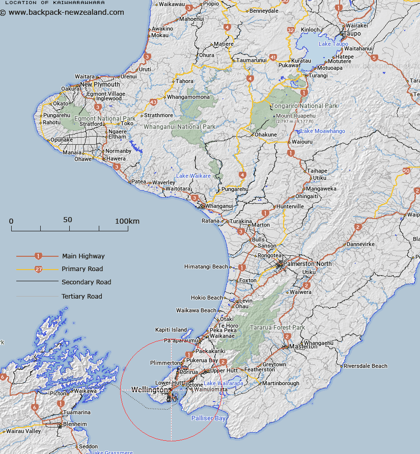
Map showing location of Kaiwharawhara
LINZ description: Locality, on Wellington Harbour, 600m Northeast of the Picton Ferry Terminal, and 2.5km Southwest of Ngauranga. Belmont Survey District.
Latitude: -41.259458
Longitude: 174.789153
Northing: 5430896.4
Easting: 1749882.1
Land District: Wellington
Feat Type: Locality
Latitude: -41.259458
Longitude: 174.789153
Northing: 5430896.4
Easting: 1749882.1
Land District: Wellington
Feat Type: Locality

Scroll down to see a more detailed road map and below that a topographical map showing the location of Kaiwharawhara. The road map has been supplied by openstreetmap and the topographical map of Kaiwharawhara has been supplied by Land Information New Zealand (LINZ).
Yes you can use the top static map for you school/university project or personal website with a link back. Contact me for any commercial use.
[ A ] [ B ] [ C ] [ D ] [ E ] [ F ] [ G ] [ H ] [ I ] [ J ] [ K ] [ L ] [ M ] [ N ] [ O ] [ P ] [ Q ] [ R ] [ S ] [ T ] [ U ] [ V ] [ W ] [ X ] [ Y ] [ Z ]