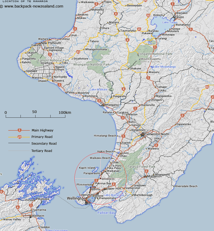
Map showing location of Te Ramaroa


LINZ description: Feature shown as a Native Reserve on Wellington SO 10239.
Latitude: -40.976093
Longitude: 174.987299
Northing: 5461995
Easting: 1767200
Land District: Wellington
Feat Type: Locality


Scroll down to see a more detailed road map and below that a topographical map showing the location of Te Ramaroa. The road map has been supplied by openstreetmap and the topographical map of Te Ramaroa has been supplied by Land Information New Zealand (LINZ).

Yes you can use the top static map for you school/university project or personal website with a link back. Contact me for any commercial use.

Te Ramaroa Map New Zealand


New Zealand places in our database
[ A ] [ B ] [ C ] [ D ] [ E ] [ F ] [ G ] [ H ] [ I ] [ J ] [ K ] [ L ] [ M ] [ N ] [ O ] [ P ] [ Q ] [ R ] [ S ] [ T ] [ U ] [ V ] [ W ] [ X ] [ Y ] [ Z ]


Closest 20 Localitys to Te Ramaroa

MacKays Crossing ( 0.81km )   Mackays Crossing ( 0.81km )   Whareroa ( 1.93km )   Paek?k?riki Hill ( 8.86km )   Otaihanga ( 10.84km )   Reikorangi ( 11.76km )   Cloustonville ( 12.04km )   Hongoeka ( 14.09km )   Judgeford ( 15.57km )   Peka Peka ( 17.02km )   Te Marua ( 17.56km )   The Plateau ( 18.2km )   Mangaroa ( 18.85km )   Maymorn ( 19.21km )   Kaitoke ( 19.38km )   Haywards ( 19.45km )   Mana Island ( 21.35km )   Te Horo Beach ( 21.5km )   Pakuratahi ( 22.01km )   Te Horo ( 22.75km )   Whitemans Valley ( 22.83km )   Colonial Knob ( 22.9km )   Otaki Forks ( 24km )   Nai Nai ( 24.97km )   Ngae Ngae ( 24.97km )   Naenae ( 24.97km )   Otaki ( 27.95km )   Otaki Beach ( 28.44km )   Cross Creek ( 28.46km )   Pigeon Bush ( 30.26km )   Fernside ( 33.09km )   Ngahauranga ( 33.32km )   Ngauranga ( 33.32km )   Te Hikowhenua ( 34.14km )   Waikawa Beach ( 34.61km )   Manakau ( 34.74km )   Te Kainga ( 35.59km )   Te Kaianga ( 35.59km )   Makara Beach ( 35.59km )   Kaiwara ( 35.61km )