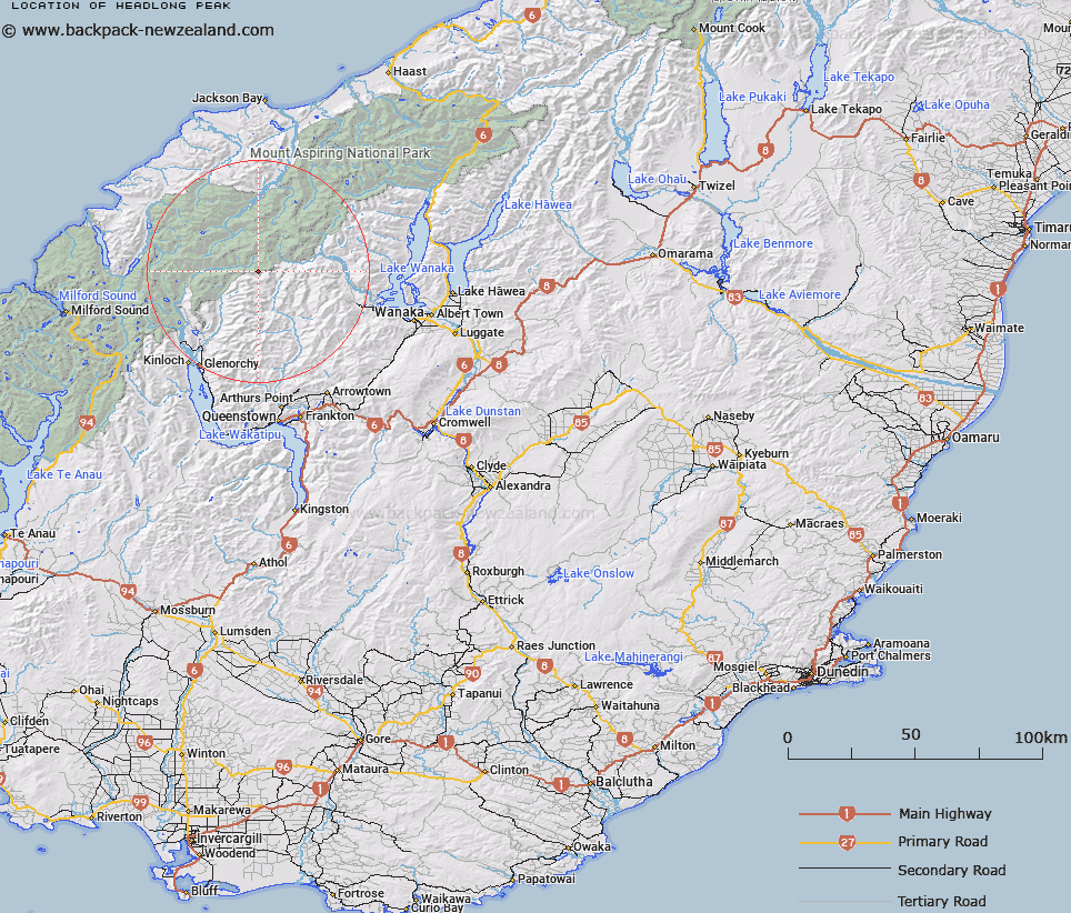
Map showing location of Headlong Peak
LINZ description: A peak at 2457m, approximately 4km west south-west of Mount Tyndall, at the northern end of Richardson Mountains. NZTopo50 CA10-Lake Williamson, GR 497 587. Moving Headlong Peak (former official geographic name) from 2510m west by approximately 450m to a feature not named, and replacing New Zealand Gazette, 29 July 1948, No. 42, page 939. Feature shown on: NZMS260 E39 Edition 1 1994 Limited Revision 1996
Latitude: -44.539752
Longitude: 168.591617
Northing: 5058715.6
Easting: 1249775.9
Land District: Otago
Feat Type: Hill
Latitude: -44.539752
Longitude: 168.591617
Northing: 5058715.6
Easting: 1249775.9
Land District: Otago
Feat Type: Hill

Scroll down to see a more detailed road map and below that a topographical map showing the location of Headlong Peak. The road map has been supplied by openstreetmap and the topographical map of Headlong Peak has been supplied by Land Information New Zealand (LINZ).
Yes you can use the top static map for you school/university project or personal website with a link back. Contact me for any commercial use.
[ A ] [ B ] [ C ] [ D ] [ E ] [ F ] [ G ] [ H ] [ I ] [ J ] [ K ] [ L ] [ M ] [ N ] [ O ] [ P ] [ Q ] [ R ] [ S ] [ T ] [ U ] [ V ] [ W ] [ X ] [ Y ] [ Z ]