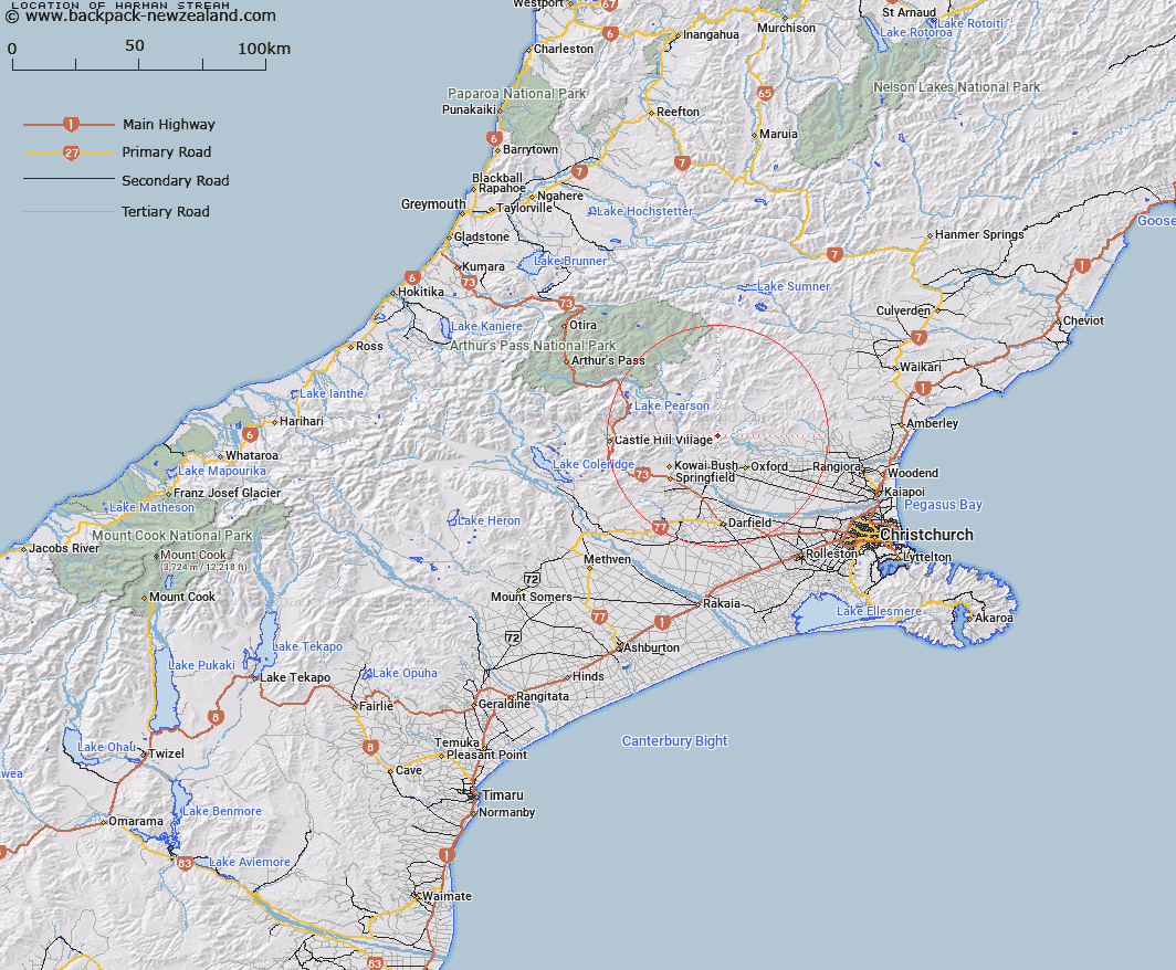
Map showing location of Harman Stream


LINZ description: Right bank tributary of Townshend River rising on the northern slopes of Mount Oxford Trig. (Geodetic Code 1408), flowing northward and joining Townshend River 3.8km upstream of the Townshend/ Ashley River junction. Block XIV, Upper Ashley Survey District.
Latitude: -43.1942
Longitude: 172.092543
Northing: 5217219.6
Easting: 1526267.9
Land District: Canterbury
Feat Type: Stream


Scroll down to see a more detailed road map and below that a topographical map showing the location of Harman Stream. The road map has been supplied by openstreetmap and the topographical map of Harman Stream has been supplied by Land Information New Zealand (LINZ).

Yes you can use the top static map for you school/university project or personal website with a link back. Contact me for any commercial use.

Harman Stream Map New Zealand


New Zealand places in our database
[ A ] [ B ] [ C ] [ D ] [ E ] [ F ] [ G ] [ H ] [ I ] [ J ] [ K ] [ L ] [ M ] [ N ] [ O ] [ P ] [ Q ] [ R ] [ S ] [ T ] [ U ] [ V ] [ W ] [ X ] [ Y ] [ Z ]


Closest 20 Streams to Harman Stream

Storm Stream ( 1.94km )   Moody Stream ( 2.47km )   Keats Stream ( 2.96km )   Shifton Stream ( 3.47km )   Millton Stream ( 4.5km )   Five Gully Stream ( 4.68km )   Oxford Creek ( 4.87km )   Dobson Stream ( 4.87km )   East Branch Coopers Creek ( 5.25km )   Milton Stream ( 5.27km )   Townshend River ( 5.63km )   Big Ben Stream ( 5.77km )   West Branch Coopers Creek ( 6.49km )   Snowdale Stream ( 7.21km )   Dog Leg Stream ( 7.6km )   Billy Stream ( 8.26km )   Ladbrook Stream ( 8.65km )   Cascade Stream ( 8.71km )   Mannering Stream ( 9.11km )   Coal Creek ( 9.13km )   Canary Stream ( 9.48km )   Foster Stream ( 9.6km )   White Stream ( 9.66km )   Dorman Stream ( 9.69km )   Richardson Stream ( 9.75km )   Mounseys Stream ( 9.82km )   Washpen Stream ( 9.82km )   Kingsdown Stream ( 9.85km )   Cunningham Stream ( 9.92km )   Eyre River ( 9.98km )   Broom Stream ( 10.26km )   Wharfedale Stream ( 10.34km )   Coopers Creek ( 10.7km )   Chest Peak Stream ( 10.7km )   Gammans Creek ( 10.82km )   Salmon Creek ( 11.07km )   Trout Stream ( 11.37km )   Kinnebrooks Stream ( 11.43km )   Glentui River ( 12.23km )   Whistler River ( 12.39km )