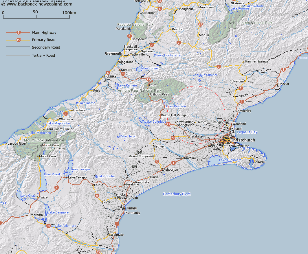
Map showing location of Ladbrook Stream
LINZ description: Right bank tributary of Richardson Stream rising on the eastern slopes of Ladbrookes Hill [Trig. K (Geodetic Code A9V0)], flowing South-eastward and joining Richardson Stream 650m upstream of the Richardson Stream/ Ashley River junction. Block XVI, Upper Ashley Survey District.
Latitude: -43.203557
Longitude: 172.198512
Northing: 5216268.3
Easting: 1534887.9
Land District: Canterbury
Feat Type: Stream
Latitude: -43.203557
Longitude: 172.198512
Northing: 5216268.3
Easting: 1534887.9
Land District: Canterbury
Feat Type: Stream

Scroll down to see a more detailed road map and below that a topographical map showing the location of Ladbrook Stream. The road map has been supplied by openstreetmap and the topographical map of Ladbrook Stream has been supplied by Land Information New Zealand (LINZ).
Yes you can use the top static map for you school/university project or personal website with a link back. Contact me for any commercial use.
[ A ] [ B ] [ C ] [ D ] [ E ] [ F ] [ G ] [ H ] [ I ] [ J ] [ K ] [ L ] [ M ] [ N ] [ O ] [ P ] [ Q ] [ R ] [ S ] [ T ] [ U ] [ V ] [ W ] [ X ] [ Y ] [ Z ]