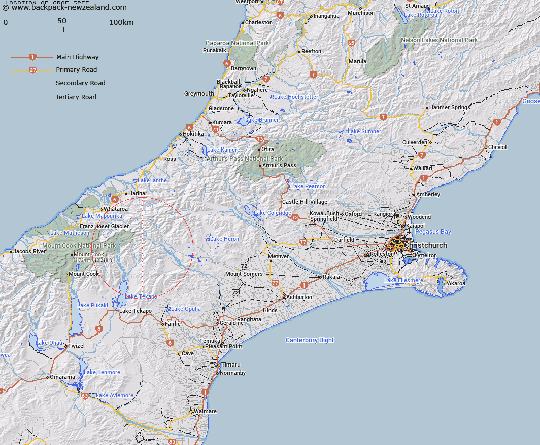
Map showing location of Graf Spee
LINZ description: Peak 850m North-west of Balaclava Saddle in the Two Thumb Range, at the intersection of Two Thumb Range and Big Spur. Block VIII Godley Survey District.
Latitude: -43.542252
Longitude: 170.673495
Northing: 5176336.6
Easting: 1412043.7
Land District: Canterbury
Feat Type: Hill
Latitude: -43.542252
Longitude: 170.673495
Northing: 5176336.6
Easting: 1412043.7
Land District: Canterbury
Feat Type: Hill

Scroll down to see a more detailed road map and below that a topographical map showing the location of Graf Spee. The road map has been supplied by openstreetmap and the topographical map of Graf Spee has been supplied by Land Information New Zealand (LINZ).
Yes you can use the top static map for you school/university project or personal website with a link back. Contact me for any commercial use.
[ A ] [ B ] [ C ] [ D ] [ E ] [ F ] [ G ] [ H ] [ I ] [ J ] [ K ] [ L ] [ M ] [ N ] [ O ] [ P ] [ Q ] [ R ] [ S ] [ T ] [ U ] [ V ] [ W ] [ X ] [ Y ] [ Z ]