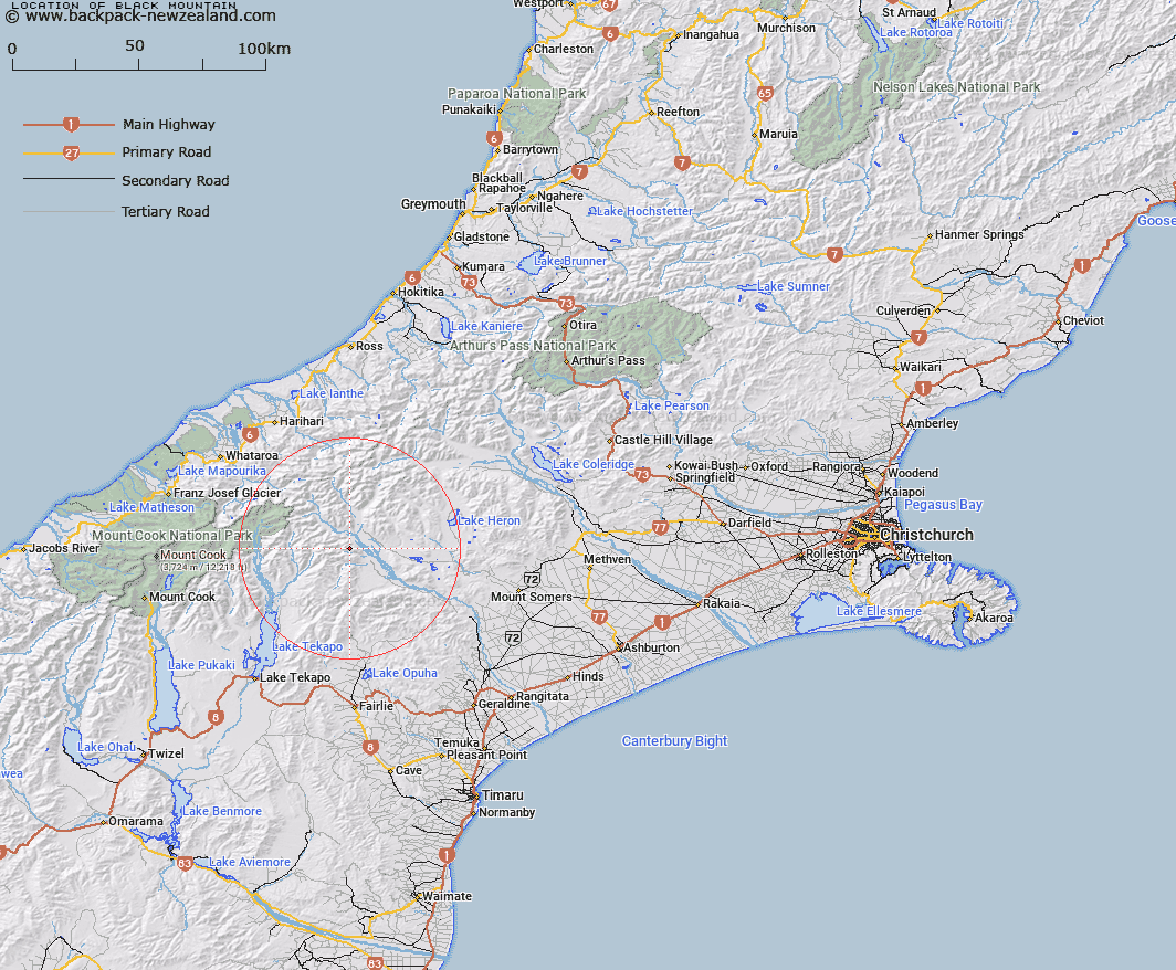
Map showing location of Black Mountain
LINZ description: Peak (1809m) in the Black Mountain Range 7.4km East of the High Peak of Achilles Peak, and 2.8km North-west of Trig. F (Geodetic Code ANAT). Block VI Sinclair Survey District.
Latitude: -43.570888
Longitude: 170.815244
Northing: 5173466.9
Easting: 1423579.4
Land District: Canterbury
Feat Type: Hill
Latitude: -43.570888
Longitude: 170.815244
Northing: 5173466.9
Easting: 1423579.4
Land District: Canterbury
Feat Type: Hill

Scroll down to see a more detailed road map and below that a topographical map showing the location of Black Mountain. The road map has been supplied by openstreetmap and the topographical map of Black Mountain has been supplied by Land Information New Zealand (LINZ).
Yes you can use the top static map for you school/university project or personal website with a link back. Contact me for any commercial use.
[ A ] [ B ] [ C ] [ D ] [ E ] [ F ] [ G ] [ H ] [ I ] [ J ] [ K ] [ L ] [ M ] [ N ] [ O ] [ P ] [ Q ] [ R ] [ S ] [ T ] [ U ] [ V ] [ W ] [ X ] [ Y ] [ Z ]