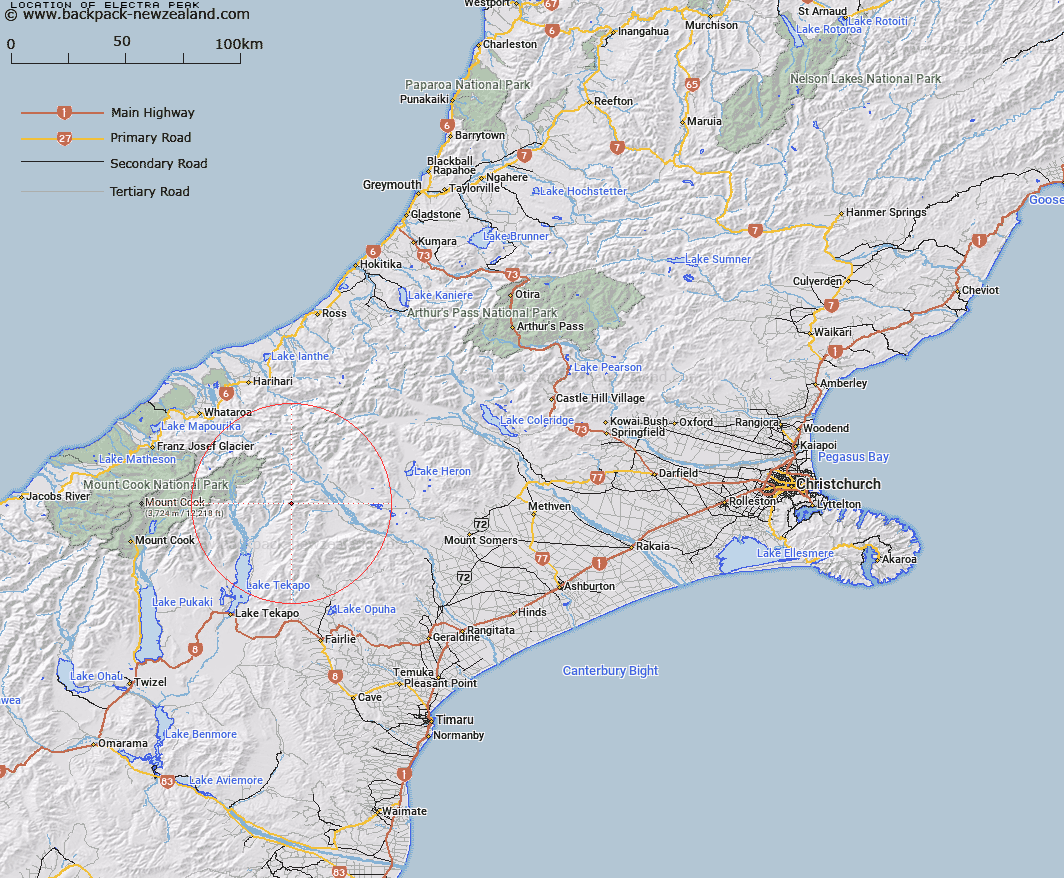
Map showing location of Electra Peak
LINZ description: Peak (2447m) in the Two Thumbs Range pproximately 1km west of The Thumbs Peaks, South-wesy of Athene Col. Block VIII Sinclair Survey District.
Latitude: -43.594113
Longitude: 170.71574
Northing: 5170671.4
Easting: 1415615.2
Land District: Canterbury
Feat Type: Hill
Latitude: -43.594113
Longitude: 170.71574
Northing: 5170671.4
Easting: 1415615.2
Land District: Canterbury
Feat Type: Hill

Scroll down to see a more detailed road map and below that a topographical map showing the location of Electra Peak. The road map has been supplied by openstreetmap and the topographical map of Electra Peak has been supplied by Land Information New Zealand (LINZ).
Yes you can use the top static map for you school/university project or personal website with a link back. Contact me for any commercial use.
[ A ] [ B ] [ C ] [ D ] [ E ] [ F ] [ G ] [ H ] [ I ] [ J ] [ K ] [ L ] [ M ] [ N ] [ O ] [ P ] [ Q ] [ R ] [ S ] [ T ] [ U ] [ V ] [ W ] [ X ] [ Y ] [ Z ]