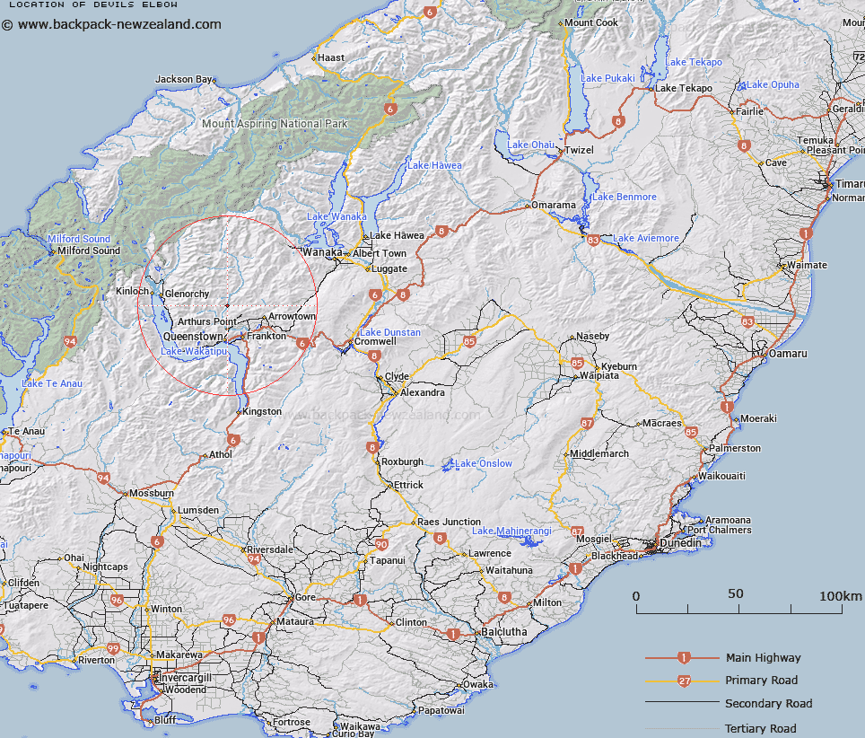
Map showing location of Devils Elbow
LINZ description: Distinctive bend in Skippers Road. North west of Arrowtown.
Latitude: -44.894075
Longitude: 168.672532
Northing: 5019700
Easting: 1258300
Land District: Otago
Feat Type: Bend
Latitude: -44.894075
Longitude: 168.672532
Northing: 5019700
Easting: 1258300
Land District: Otago
Feat Type: Bend

Scroll down to see a more detailed road map and below that a topographical map showing the location of Devils Elbow. The road map has been supplied by openstreetmap and the topographical map of Devils Elbow has been supplied by Land Information New Zealand (LINZ).
Yes you can use the top static map for you school/university project or personal website with a link back. Contact me for any commercial use.
[ A ] [ B ] [ C ] [ D ] [ E ] [ F ] [ G ] [ H ] [ I ] [ J ] [ K ] [ L ] [ M ] [ N ] [ O ] [ P ] [ Q ] [ R ] [ S ] [ T ] [ U ] [ V ] [ W ] [ X ] [ Y ] [ Z ]